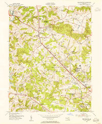
1953 Map of Reisterstown
USGS Topo · Published 1955About this map
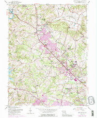
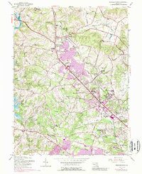
Reisterstown serves as a central hub on this mid-century survey, situated at the junction of the Hanover Pike and Westminster Pike. The landscape is defined by its transition from a structured rail-and-road network to the open drainage basins of Gwynns Falls and the newly formed Liberty Lake to the west. Several prominent educational and institutional grounds characterize the area, including the Hannah More Academy For Girls, Franklin High Sch, and the sprawling Rosewood State Training Sch.
Find a feature on this map
72 named features on this map. Tap any name to fly to it.
Don’t see what you’re looking for? This feature index may not catch every label — zoom into the map to look around manually.
Map Details
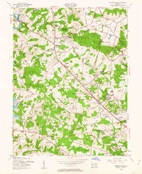
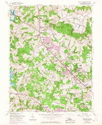
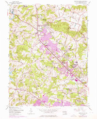
Editions of this 1953 Reisterstown Map
6 editions found
Other maps of this area

1892 · Ellicott
USGS Topo · 1:62,500

1894 · Ellicott
USGS Topo · 1:62,500

1894 · Baltimore
USGS Topo · 1:62,500

1899 · Baltimore
USGS Topo · 1:62,500

1900 · Parkton
USGS Topo · 1:62,500

1902 · Parkton
USGS Topo · 1:62,500

1904 · Baltimore
USGS Topo · 1:62,500

1905 · Westminster
USGS Topo · 1:62,500

1906 · Ellicott
USGS Topo · 1:62,500

1908 · Patapsco
USGS Topo · 1:125,000