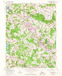
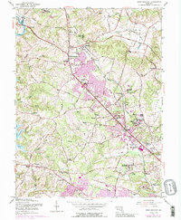
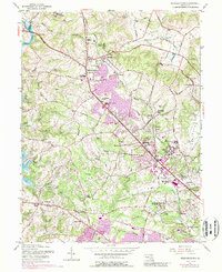
1953 Map of Reisterstown
USGS Topo · Published 1967About this map
Educational and institutional landmarks define this portion of Baltimore County, with the Western Maryland RR corridor serving as a primary axis for the region's mid-century expansion. The map highlights specialized campus environments such as the Hannah More Academy for Girls and Me Donogh Sch for Boys, alongside the Rosewood State Training Sch and Mt Wilson State Hospital. These large parcels of land, including the Gwynnbrook State Game Farm, suggest a landscape transitioning from rural estates to more organized suburban and institutional use.
Find a feature on this map
91 named features on this map. Tap any name to fly to it.
Don’t see what you’re looking for? This feature index may not catch every label — zoom into the map to look around manually.
Map Details
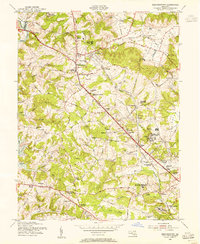
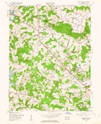
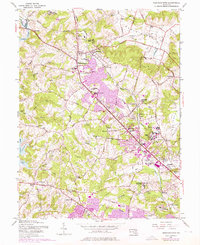
Editions of this 1953 Reisterstown Map
6 editions found
Other maps of this area

1892 · Ellicott
USGS Topo · 1:62,500

1894 · Ellicott
USGS Topo · 1:62,500

1894 · Baltimore
USGS Topo · 1:62,500

1899 · Baltimore
USGS Topo · 1:62,500

1900 · Parkton
USGS Topo · 1:62,500

1902 · Parkton
USGS Topo · 1:62,500

1904 · Baltimore
USGS Topo · 1:62,500

1905 · Westminster
USGS Topo · 1:62,500

1906 · Ellicott
USGS Topo · 1:62,500

1908 · Patapsco
USGS Topo · 1:125,000