Loading...
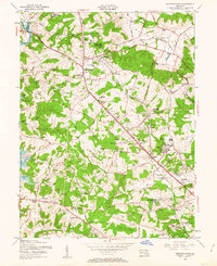
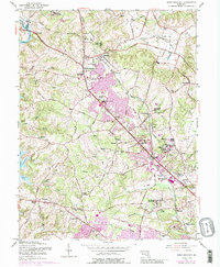
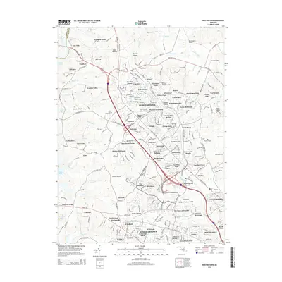
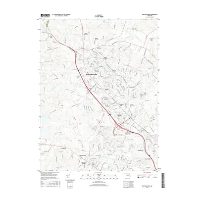
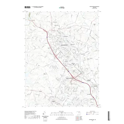
Loading map...1953 Map of Reisterstown
USGS Topo · Published 1963About this map
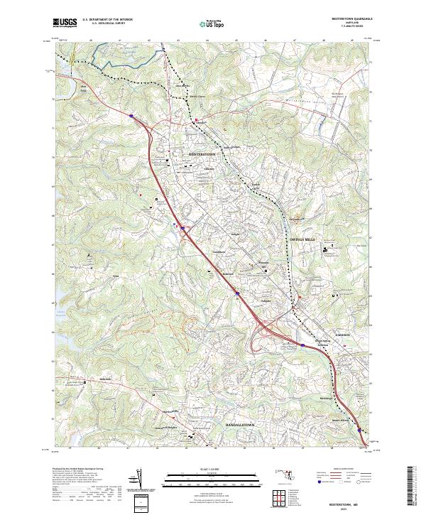
Reisterstown Road serves as the central spine of this mid-century Maryland landscape, connecting a string of established communities including Glyndon, Reisterstown, and Owings Mills. The area is notably defined by its dense concentration of private and state institutions, from the Hannah More Academy For Girls to the Mc Donogh Sch for Boys. To the west, the recently created Liberty Lake reservoir dominates the drainage of the North Branch Patapsco River, its rising waters neighboring the historic Soldiers Delight terrain.
Find a feature on this map
83 named features on this map. Tap any name to fly to it.
Don’t see what you’re looking for? This feature index may not catch every label — zoom into the map to look around manually.
Map Details
Date Portrayed1953
Date Published1963
PublisherU.S. Geological Survey
Map TypeTopographic
Scale1:24,000
Physical Dimensions21.9 x 26.9 inches
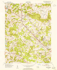
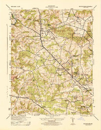
Editions of this 1953 Reisterstown Map
6 editions found
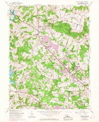
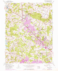
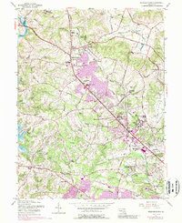
Historical Maps of Owings Mills Through Time
7 maps found
Featured Locations
Source Details
SourceU.S. Geological Survey
CopyrightPublic Domain