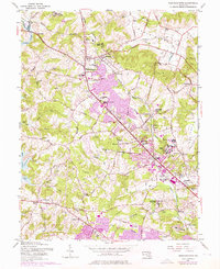
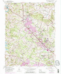
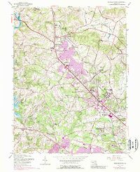
1953 Map of Reisterstown
USGS Topo · Published 1976About this map
Reisterstown and the surrounding Worthington Valley reflect a landscape shaped by long-standing educational and religious institutions during the mid-20th century. The Western Maryland railroad corridor anchors several communities, including Glyndon, Emory Grove, and Owings Mills. This survey reveals a concentration of specialized campuses, from the Hannah More Academy For Girls and Mc Donogh Sch for Boys to the Rosewood State Training Sch and Mt Wilson State Hospital. To the west, the recently formed Liberty Lake begins to dominate the terrain near Wards Chapel. The transition from rural valley to expanding residential pockets is evident in the purple-tinted growth areas near Garrison and McDonogh, where the Green Spring Valley Hunt Club and various Radio Towers mark the era's suburban development.
Find a feature on this map
87 named features on this map. Tap any name to fly to it.
Don’t see what you’re looking for? This feature index may not catch every label — zoom into the map to look around manually.
Map Details
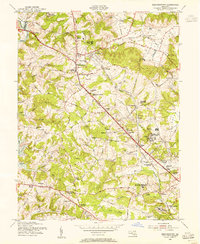
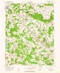
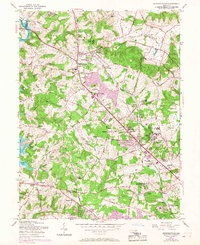
Editions of this 1953 Reisterstown Map
6 editions found
Other maps of this area

1892 · Ellicott
USGS Topo · 1:62,500

1894 · Ellicott
USGS Topo · 1:62,500

1894 · Baltimore
USGS Topo · 1:62,500

1899 · Baltimore
USGS Topo · 1:62,500

1900 · Parkton
USGS Topo · 1:62,500

1902 · Parkton
USGS Topo · 1:62,500

1904 · Baltimore
USGS Topo · 1:62,500

1905 · Westminster
USGS Topo · 1:62,500

1906 · Ellicott
USGS Topo · 1:62,500

1908 · Patapsco
USGS Topo · 1:125,000