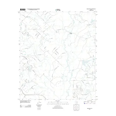
2013 Map of Reliance
USGS Topo · Published 2013About this map
Reliance stands as a focal point in this portion of Brazos County, where the network of country roads meets the riparian corridors of the Navasota River. The landscape is defined by its drainage patterns, with Wickson Cr, Bowman Cr, and Bull Cr cutting through the terrain towards the river. This region exhibits a mix of rural infrastructure and natural features, including the K Ranch Airport and the historical Stick Cemetery.
Find a feature on this map
101 named features on this map. Tap any name to fly to it.
Don’t see what you’re looking for? This feature index may not catch every label — zoom into the map to look around manually.
Map Details
Editions of this 2013 Reliance Map
This is the sole edition of this map. No revisions or reprints were ever made.
Other maps of this area

1931 · Iola
USGS Topo · 1:62,500

1954 · Austin
USGS Topo · 1:250,000

1956 · Bryan
USGS Topo · 1:62,500

1956 · Carlos
USGS Topo · 1:62,500

1959 · Clear Lake
USGS Topo · 1:24,000

1959 · Reliance
USGS Topo · 1:24,000

1959 · Ferguson Crossing
USGS Topo · 1:24,000

1960 · Carlos
USGS Topo · 1:24,000

1961 · Wellborn
USGS Topo · 1:24,000

1962 · Keith
USGS Topo · 1:24,000