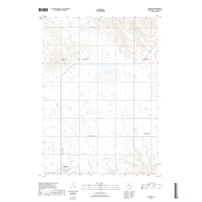
2017 Map of Reliance
USGS Topo · Published 2017About this map
Reliance is the central hub of this Lyman County landscape, situated where the high plains meet the intricate drainage systems of American Crow Cr and Counselor Cr. The town's layout is defined by its transit roots, with Railway Ave and E Rel Alumni framing the local street grid. Just north of the settlement, Reliance Lake provides a distinct break in the terrain, while the higher elevations are marked by the prominent Medicine Butte. Local history and genealogy are anchored at the edge of the community at Saint Mary's Cem and the Reliance Cem. The surrounding territory is carved by numerous ranch roads and Section Line paths, including Karlen Ranch Rd and Bia RD 10, which trace the township boundaries of T105N and T106N.
Find a feature on this map
24 named features on this map. Tap any name to fly to it.
Don’t see what you’re looking for? This feature index may not catch every label — zoom into the map to look around manually.
Map Details
Editions of this 2017 Reliance Map
This is the sole edition of this map. No revisions or reprints were ever made.
Other maps of this area

1935 · Chamberlain
USGS Topo · 1:62,500

1939 · Chamberlain
USGS Topo · 1:62,500

1952 · Reliance SW
USGS Topo · 1:24,000

1952 · Reliance SE
USGS Topo · 1:24,000

1952 · Oacoma
USGS Topo · 1:24,000

1953 · Huron
USGS Topo · 1:250,000

1954 · Huron
USGS Topo · 1:250,000

1955 · Mitchell
USGS Topo · 1:250,000

1959 · Mitchell
USGS Topo · 1:250,000

1966 · Big Bend Dam
USGS Topo · 1:24,000