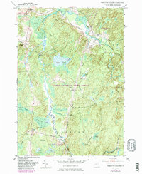
1951 Map of Remington Corners
USGS Topo · Published 1983About this map
Jadwin Memorial State Forest and the western edge of the Adirondack Park define this 1950s landscape in the townships of Diana and Croghan. The map reveals a network of small settlements and river crossings along the West Branch Oswegatchie River, where local industry is marked by Kimball Mill and Bishas Mill. The area's history is tied to the numerous named corners that served as local hubs, such as Remington Corners and Oswegatchie Corners.
Find a feature on this map
46 named features on this map. Tap any name to fly to it.
Don’t see what you’re looking for? This feature index may not catch every label — zoom into the map to look around manually.
Map Details
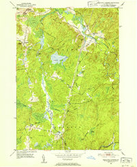
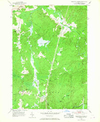
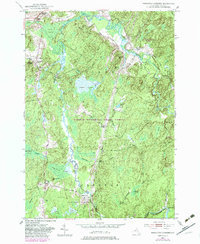
Editions of this 1951 Remington Corners Map
4 editions found
Other maps of this area

1911 · Lowville
USGS Topo · 1:62,500

1912 · Number Four
USGS Topo · 1:62,500

1913 · Lowville
USGS Topo · 1:62,500

1913 · Lake Bonaparte
USGS Topo · 1:62,500

1915 · Number Four
USGS Topo · 1:62,500

1916 · Lake Bonaparte
USGS Topo · 1:62,500

1916 · Oswegatchie
USGS Topo · 1:62,500

1918 · Oswegatchie
USGS Topo · 1:62,500

1948 · Ogdensburg
USGS Topo · 1:250,000

1950 · Utica
USGS Topo · 1:250,000