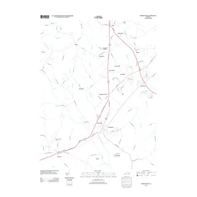
2013 Map of Remington
USGS Topo · Published 2013About this map
The Rappahannock River serves as the primary geographical divider in this part of Fauquier and Culpeper counties, joined by the Hazel River just west of Remington. This 2013 survey illustrates a landscape of established rural communities and agricultural operations, such as Woodward Turf Farms, interspersed with aviation facilities including Culpeper Regional Airport and the smaller Aviacres Airport. The concentration of settlements along the James Madison Highway corridor highlights the region's historic dependence on this north-south transit route.
Find a feature on this map
104 named features on this map. Tap any name to fly to it.
Don’t see what you’re looking for? This feature index may not catch every label — zoom into the map to look around manually.
Map Details
Editions of this 2013 Remington Map
This is the sole edition of this map. No revisions or reprints were ever made.
Other maps of this area

1887 · Spottsylvania
USGS Topo · 1:125,000

1892 · Spottsylvania
USGS Topo · 1:125,000

1894 · Warrenton
USGS Topo · 1:125,000

1894 · Warrenton
USGS Topo · 1:62,500

1927 · Remington
USGS Topo · 1:48,000

1930 · Warrenton
USGS Topo · 1:62,500

1943 · Catlett
USGS Topo · 1:62,500

1943 · Germanna Bridge
USGS Topo · 1:24,000

1943 · Culpeper
USGS Topo · 1:24,000

1943 · Midland
USGS Topo · 1:24,000