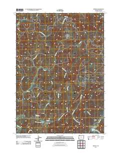
2011 Map of Remote
USGS Topo · Published 2011About this map
The Middle Fork Coquille River carves through the southern portion of this landscape, serving as the primary corridor for settlement and transit. Along its banks, the small community of Remote is anchored by the Remote Post Office and the Remote Bridge, while further west lies the settlement of Enchanted Prairie. These small pockets of habitation are surrounded by an intricate network of drainages, including Elk Creek, Sandy Creek, and Bear Pen Creek, which descend from higher elevations like Split Mountain. Family and local history are preserved at the Enchanted Prairie Cemetery and Fetter Cemetery, both situated near the river's winding path. The road system, including Elk Creek Rd and Jenkins Prairie Rd, follows the natural contours of the valley floor and provides access to the timbered hinterlands of Coos County.
Find a feature on this map
25 named features on this map. Tap any name to fly to it.
Don’t see what you’re looking for? This feature index may not catch every label — zoom into the map to look around manually.
Map Details
Editions of this 2011 Remote Map
This is the sole edition of this map. No revisions or reprints were ever made.
Other maps of this area

1896 · Coos Bay
USGS Topo · 1:125,000

1898 · Coos Bay
USGS Topo · 1:125,000

1899 · Port Orford
USGS Topo · 1:125,000

1900 · Coos Bay
USGS Topo · 1:125,000

1903 · Port Orford
USGS Topo · 1:125,000

1928 · Sitkum
USGS Topo · 1:125,000

1942 · Coquille
USGS Topo · 1:62,500

1945 · Coquille
USGS Topo · 1:62,500

1954 · Coos Bay
USGS Topo · 1:250,000

1954 · Bone Mountain
USGS Topo · 1:62,500