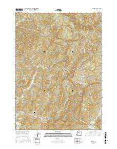
2017 Map of Remote
USGS Topo · Published 2017About this map
Middle Fork Coquille River winds through this section of Coos County, serving as the primary geographic corridor for the small settlement of Remote. This 2017 survey documents a landscape defined by its river-and-road network, where Sandy Creek Rd and Jenkins Prairie Rd provide access to the interior highlands. For genealogists and local historians, the map identifies specific interment sites including Enchanted Prairie Cem and Fetter Cem, which are significant markers of the area's early families.
Find a feature on this map
38 named features on this map. Tap any name to fly to it.
Don’t see what you’re looking for? This feature index may not catch every label — zoom into the map to look around manually.
Map Details
Editions of this 2017 Remote Map
This is the sole edition of this map. No revisions or reprints were ever made.
Other maps of this area

1896 · Coos Bay
USGS Topo · 1:125,000

1898 · Coos Bay
USGS Topo · 1:125,000

1899 · Port Orford
USGS Topo · 1:125,000

1900 · Coos Bay
USGS Topo · 1:125,000

1903 · Port Orford
USGS Topo · 1:125,000

1928 · Sitkum
USGS Topo · 1:125,000

1942 · Coquille
USGS Topo · 1:62,500

1945 · Coquille
USGS Topo · 1:62,500

1954 · Coos Bay
USGS Topo · 1:250,000

1954 · Bone Mountain
USGS Topo · 1:62,500