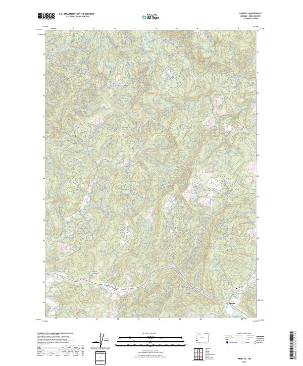
2023 Map of Remote
USGS Topo · Published 2023About this map
The Middle Fork Coquille River winds through the southern portion of this region, providing the primary corridor for the settlement of Remote. This landscape is defined by its intricate drainage systems, where numerous waterways like Bear Pen Creek, Belieu Creek, and Tanner Creek carve through the terrain. The presence of Enchanted Prairie Cem and Fetter Cem suggests a long-standing rural community rooted in these river valleys.
Find a feature on this map
28 named features on this map. Tap any name to fly to it.
Don’t see what you’re looking for? This feature index may not catch every label — zoom into the map to look around manually.
Map Details
Editions of this 2023 Remote Map
This is the sole edition of this map. No revisions or reprints were ever made.
Other maps of this area

1896 · Coos Bay
USGS Topo · 1:125,000

1898 · Coos Bay
USGS Topo · 1:125,000

1899 · Port Orford
USGS Topo · 1:125,000

1900 · Coos Bay
USGS Topo · 1:125,000

1903 · Port Orford
USGS Topo · 1:125,000

1928 · Sitkum
USGS Topo · 1:125,000

1942 · Coquille
USGS Topo · 1:62,500

1945 · Coquille
USGS Topo · 1:62,500

1954 · Coos Bay
USGS Topo · 1:250,000

1954 · Bone Mountain
USGS Topo · 1:62,500