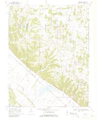
1970 Map of Renault
USGS Topo · Published 1981About this map
The Missouri Pacific corridor defines the western edge of this 1970 landscape, running parallel to the Miss R and Beagles Island. Between the river bluffs and the upland prairies, several small agricultural settlements like Maeystown, Fults, and Renault anchor the community. The topography is marked by significant karst features and drainage patterns, including Saltpeter Cave and the winding course of Maeystown Creek. Local genealogy is particularly well-represented here through a dense network of family and parish burial grounds, ranging from the Dick Cem in the central hills to St Marys Cem near the southern boundary. This map reveals a transition from the alluvial bottomlands of the Mississippi River to the dissected uplands, where small-scale industry like a Quarry and local landmarks such as Wetzler Lake and Cavanah Lake dot the countryside.
Find a feature on this map
34 named features on this map. Tap any name to fly to it.
Don’t see what you’re looking for? This feature index may not catch every label — zoom into the map to look around manually.
Map Details
Editions of this 1970 Renault Map
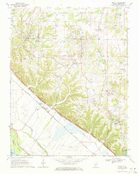
2 editions found
Other maps of this area

1910 · Waterloo
USGS Topo · 1:62,500

1912 · Kimmswick
USGS Topo · 1:62,500

1913 · Waterloo
USGS Topo · 1:62,500

1915 · Renault
USGS Topo · 1:62,500

1915 · Crystal City
USGS Topo · 1:62,500

1916 · Kimmswick
USGS Topo · 1:62,500

1940 · Renault
USGS Topo · 1:62,500

1948 · Kimmswick
USGS Topo · 1:62,500

1949 · Saint Louis
USGS Topo · 1:250,000

1949 · Crystal City
USGS Topo · 1:62,500