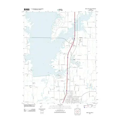
2012 Map of Rend Lake Dam
USGS Topo · Published 2012About this map
Rend Lake dominates the landscape of Franklin County in the early 21st century, its sprawling fingers and inlets creating a complex shoreline that reshaped the local geography. The map illustrates a modern era of recreation and utility centered around the Rend Lake Marina and the expansive Wayne Fitzgerrell State Park. Beneath this aquatic infrastructure, the original agricultural and industrial footprint remains visible through numerous family and community burial grounds, such as Winemiller Cem and Shiloh Cem, which dot the eastern rises. The persistent importance of the region's energy resources is evident in the Whittington Oil Field and Benton North Oil Field, while the Big Muddy River continues its course south of the dam. The settlement of Whittington serves as a small inland hub, linked to the larger municipal footprint of the Benton Municipal Airport near the southern map boundary.
Find a feature on this map
119 named features on this map. Tap any name to fly to it.
Don’t see what you’re looking for? This feature index may not catch every label — zoom into the map to look around manually.
Map Details
Editions of this 2012 Rend Lake Dam Map
This is the sole edition of this map. No revisions or reprints were ever made.
Other maps of this area

1909 · West Frankfort
USGS Topo · 1:62,500

1910 · Herrin
USGS Topo · 1:62,500

1926 · Duquoin
USGS Topo · 1:62,500

1936 · Herrin
USGS Topo · 1:62,500

1939 · Ina
USGS Topo · 1:62,500

1941 · West Frankfort
USGS Topo · 1:62,500

1943 · Ina
USGS Topo · 1:62,500

1949 · Paducah
USGS Topo · 1:250,000

1950 · Paducah
USGS Topo · 1:250,000

1954 · Paducah
USGS Topo · 1:250,000