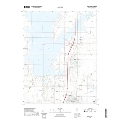
2018 Map of Rend Lake Dam
USGS Topo · Published 2018About this map
Benton and its surrounding waterworks dominate this 2018 survey of Franklin County, where the infrastructure of the Rend Lake Dam shapes the local geography. The landscape is a complex network of reservoirs and creeks, including the Big Muddy River and specialized catchments like the Mine Number 21 Reservoir. This interplay of water and industry is evident in the transition from the municipal center of Benton out to smaller outlying communities such as Whittington and Rend City.
Find a feature on this map
57 named features on this map. Tap any name to fly to it.
Don’t see what you’re looking for? This feature index may not catch every label — zoom into the map to look around manually.
Map Details
Editions of this 2018 Rend Lake Dam Map
This is the sole edition of this map. No revisions or reprints were ever made.
Other maps of this area

1909 · West Frankfort
USGS Topo · 1:62,500

1910 · Herrin
USGS Topo · 1:62,500

1926 · Duquoin
USGS Topo · 1:62,500

1936 · Herrin
USGS Topo · 1:62,500

1939 · Ina
USGS Topo · 1:62,500

1941 · West Frankfort
USGS Topo · 1:62,500

1943 · Ina
USGS Topo · 1:62,500

1949 · Paducah
USGS Topo · 1:250,000

1950 · Paducah
USGS Topo · 1:250,000

1954 · Paducah
USGS Topo · 1:250,000