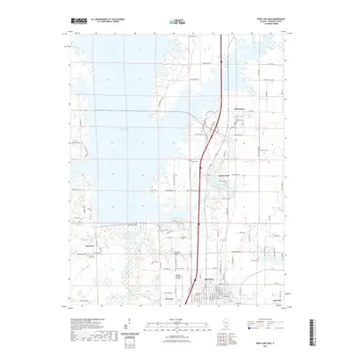
2021 Map of Rend Lake Dam
USGS Topo · Published 2021About this map
Benton and the surrounding Franklin County landscape are defined by the massive impoundment and infrastructure of the Big Muddy River. The southern reaches of the reservoir are anchored by the Rend Lake Dam, a significant engineering feature that transformed the local topography. This 2021 survey illustrates the modern layout of the region, where recreational areas like Benton Park and Lake Benton sit adjacent to industrial and transit hubs, including the Benton Municipal Airport.
Find a feature on this map
103 named features on this map. Tap any name to fly to it.
Don’t see what you’re looking for? This feature index may not catch every label — zoom into the map to look around manually.
Map Details
Editions of this 2021 Rend Lake Dam Map
This is the sole edition of this map. No revisions or reprints were ever made.
Other maps of this area

1909 · West Frankfort
USGS Topo · 1:62,500

1910 · Herrin
USGS Topo · 1:62,500

1926 · Duquoin
USGS Topo · 1:62,500

1936 · Herrin
USGS Topo · 1:62,500

1939 · Ina
USGS Topo · 1:62,500

1941 · West Frankfort
USGS Topo · 1:62,500

1943 · Ina
USGS Topo · 1:62,500

1949 · Paducah
USGS Topo · 1:250,000

1950 · Paducah
USGS Topo · 1:250,000

1954 · Paducah
USGS Topo · 1:250,000