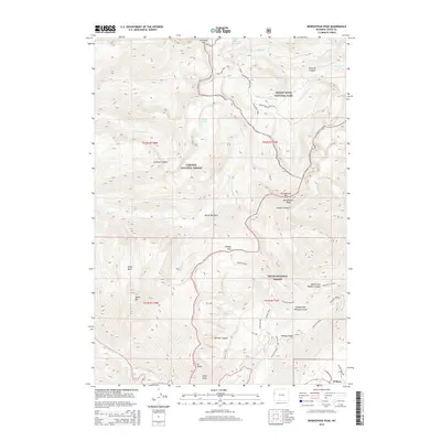
2015 Map of Rendezvous Peak
USGS Topo · Published 2015About this map
Wilson sits at the base of the high-altitude terrain where the southern extent of Grand Teton National Park meets the Targhee National Forest and Teton National Forest. The landscape is dominated by significant summits such as Rendezvous Peak, Housetop Mtn, and Mt Glory, the latter featuring the prominent Glory Slide. This area serves as a critical junction for high-country travel, documented through an extensive network of footpaths including the Teton Crest Trail, Game Creek Pass Trail, and the Middle Fork Cutoff Trail. The map details a complex drainage system where the headwaters of Granite Cr and its various forks carve through Granite Canyon, while further south, the Phillips Pass area connects the high ridges with Taylor Basin and the water-carved reaches of Phillips Canyon.
Find a feature on this map
48 named features on this map. Tap any name to fly to it.
Don’t see what you’re looking for? This feature index may not catch every label — zoom into the map to look around manually.
Map Details
Editions of this 2015 Rendezvous Peak Map
This is the sole edition of this map. No revisions or reprints were ever made.
Other maps of this area

1899 · Grand Teton
USGS Topo · 1:125,000

1901 · Grand Teton
USGS Topo · 1:125,000

1931 · Jackson
USGS Topo · 1:125,000

1932 · Irwin
USGS Topo · 1:96,000

1935 · Irwin
USGS Topo · 1:125,000

1935 · Jackson
USGS Topo · 1:125,000

1943 · Driggs
USGS Topo · 1:62,500

1946 · Driggs
USGS Topo · 1:62,500

1955 · Driggs
USGS Topo · 1:250,000

1958 · Driggs
USGS Topo · 1:250,000