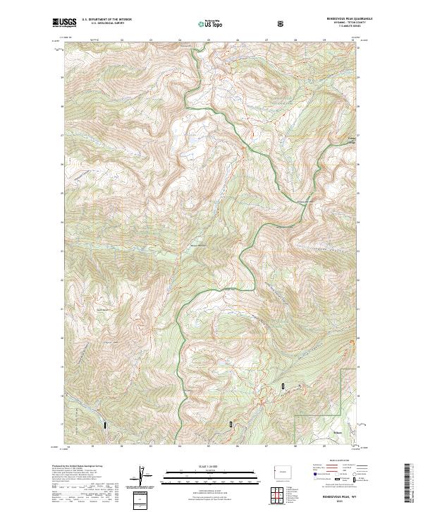
2023 Map of Rendezvous Peak
USGS Topo · Published 2023About this map
Grand Teton National Park and the Jedediah Smith Wilderness converge in this high-altitude landscape where the Teton Range meets the Snake River Range. The map documents a complex network of recreational and historic trails, including the Teton Crest Trl and the Phillips Pass Trl, which navigate the steep divide between the Teton National Forest and Targhee National Forest. In the lower elevations, the settlements of Teton Village and Wilson serve as gateways to the peaks. The terrain is defined by dramatic features such as the Glory Slide on Mt Glory and the prominent summits of Rendezvous Peak and Rendezvous Mtn. This modern survey details the hydrological sources for the region, tracing the headwaters of Granite Creek and its various forks as they descend from Marion Lake toward the valley floor.
Find a feature on this map
57 named features on this map. Tap any name to fly to it.
Don’t see what you’re looking for? This feature index may not catch every label — zoom into the map to look around manually.
Map Details
Editions of this 2023 Rendezvous Peak Map
This is the sole edition of this map. No revisions or reprints were ever made.
Other maps of this area

1899 · Grand Teton
USGS Topo · 1:125,000

1901 · Grand Teton
USGS Topo · 1:125,000

1931 · Jackson
USGS Topo · 1:125,000

1932 · Irwin
USGS Topo · 1:96,000

1935 · Irwin
USGS Topo · 1:125,000

1935 · Jackson
USGS Topo · 1:125,000

1943 · Driggs
USGS Topo · 1:62,500

1946 · Driggs
USGS Topo · 1:62,500

1955 · Driggs
USGS Topo · 1:250,000

1958 · Driggs
USGS Topo · 1:250,000