Loading...
Loading map...2022 Map of Renfrow
USGS Topo · Published 2022About this map
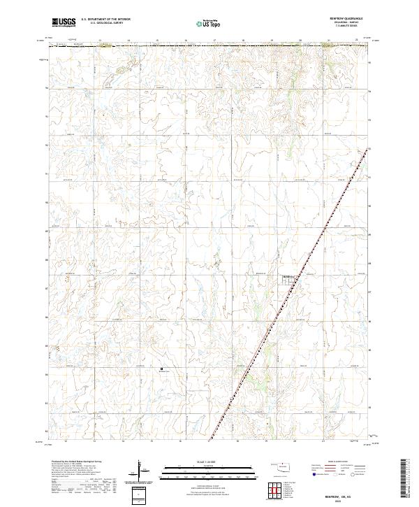
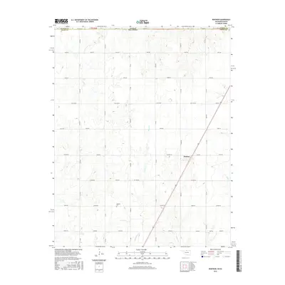
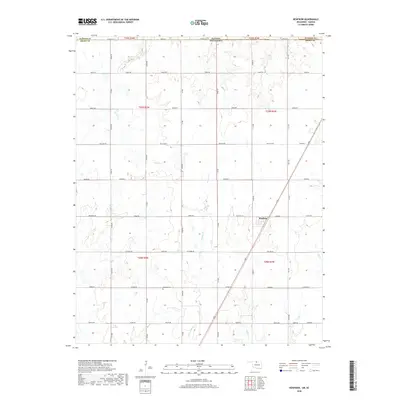
Renfrow sits at a crossroads in north-central Oklahoma, anchored by a sparse but deliberate network of section roads that define the agricultural landscape. The terrain is carved by the winding paths of Wolf Cr and Polecat Cr, which drain toward the south and east. These watercourses, along with Bullwacker Cr, created the subtle breaks in the prairie that early settlers navigated when establishing farmsteads.
Find a feature on this map
57 named features on this map. Tap any name to fly to it.
Don’t see what you’re looking for? This feature index may not catch every label — zoom into the map to look around manually.
Map Details
Date Portrayed2022
Date Published2022
PublisherU.S. Geological Survey
Map TypeTopographic
Scale1:24,000
Physical Dimensions24 x 29 inches
Editions of this 2022 Renfrow Map
This is the sole edition of this map. No revisions or reprints were ever made.
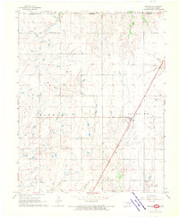
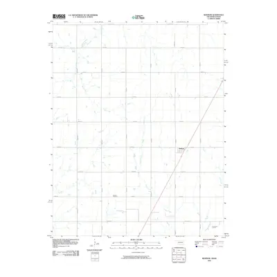
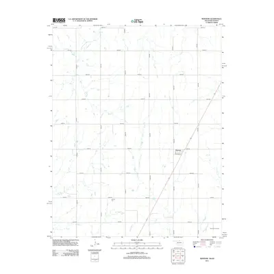
Historical Maps of Renfrow Through Time
6 maps found
Featured Locations
Source Details
SourceU.S. Geological Survey
CopyrightPublic Domain