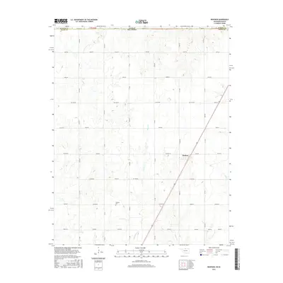
2016 Map of Renfrow
USGS Topo · Published 2016About this map
Renfrow sits at the heart of this landscape, positioned where the railroad corridor cuts a diagonal path through the section lines of northern Grant Co. This 2016 survey highlights a quintessential plains settlement pattern defined by a rigid grid of rural routes such as Renfrow Rd, McClain Rd, and Le Flore Rd. The drainage systems of Polecat Cr, Wolf Cr, and Bullwacker Cr wind across these agricultural parcels, creating the only organic breaks in the surveyed landscape. Genealogists will find the Richland Cem south of the main settlement, a primary landmark for local family history. The map also documents the state boundary where Grant Co meets Sumner Co at the Kansas-Oklahoma line, illustrating how regional infrastructure and land management align across these two states.
Find a feature on this map
49 named features on this map. Tap any name to fly to it.
Don’t see what you’re looking for? This feature index may not catch every label — zoom into the map to look around manually.
Map Details
Editions of this 2016 Renfrow Map
This is the sole edition of this map. No revisions or reprints were ever made.
Other maps of this area

1889 · Caldwell
USGS Topo · 1:125,000

1893 · Caldwell
USGS Topo · 1:125,000

1897 · Caldwell
USGS Topo · 1:125,000

1955 · Wichita
USGS Topo · 1:250,000

1955 · Enid
USGS Topo · 1:250,000

1958 · Enid
USGS Topo · 1:250,000

1958 · Wichita
USGS Topo · 1:250,000

1968 · Deer Creek
USGS Topo · 1:24,000

1968 · Wakita SE
USGS Topo · 1:24,000

1968 · Renfrow
USGS Topo · 1:24,000