
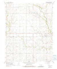
1968 Map of Deer Creek
USGS Topo · Published 1969About this map
The agrarian and industrial landscape of Grant County unfolds around the small village of Deer Creek, where the Atchison Topeka and Santa Fe railroad corridor runs parallel to a series of petroleum developments. By the late 1960s, the terrain was defined by a complex grid of pipelines and established production areas, including the Numa Oil Field and the Deer Creek Oil Field. Local history is anchored by several rural burying grounds like St Marys Cem, Darland Cem, and Bayard Cem, which serve as vital markers for genealogical research.
Find a feature on this map
31 named features on this map. Tap any name to fly to it.
Don’t see what you’re looking for? This feature index may not catch every label — zoom into the map to look around manually.
Map Details
Editions of this 1968 Deer Creek Map
2 editions found
Other maps of this area

1955 · Enid
USGS Topo · 1:250,000

1958 · Enid
USGS Topo · 1:250,000

1968 · Lamont NW
USGS Topo · 1:24,000

1968 · Eddy
USGS Topo · 1:24,000

1968 · Blackwell NW
USGS Topo · 1:24,000

1968 · Nardin
USGS Topo · 1:24,000

1968 · Renfrow
USGS Topo · 1:24,000

1968 · Medford
USGS Topo · 1:24,000

1968 · Lamont
USGS Topo · 1:24,000
1968 · Medford NE
USGS Topo · 1:24,000