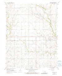
1968 Map of Deer Creek
USGS Topo · Published 1991About this map
Energy production and agriculture define this portion of Grant County, where the Numa Oil Field and Deer Creek Oil Field overlap with established township boundaries like Fairview and Dirigo. The landscape is primarily shaped by a network of waterways including Deer Creek and Antelope Creek, which provided natural drainage for the surrounding farms and settlements. The town of Deer Creek serves as a local hub, situated at the junction of the Atchison Topeka and Santa Fe railroad, a vital corridor for moving regional goods and grain.
Find a feature on this map
27 named features on this map. Tap any name to fly to it.
Don’t see what you’re looking for? This feature index may not catch every label — zoom into the map to look around manually.
Map Details
Editions of this 1968 Deer Creek Map
2 editions found
Other maps of this area

1955 · Enid
USGS Topo · 1:250,000

1958 · Enid
USGS Topo · 1:250,000

1968 · Lamont NW
USGS Topo · 1:24,000

1968 · Deer Creek
USGS Topo · 1:24,000

1968 · Eddy
USGS Topo · 1:24,000

1968 · Blackwell NW
USGS Topo · 1:24,000

1968 · Nardin
USGS Topo · 1:24,000

1968 · Renfrow
USGS Topo · 1:24,000

1968 · Medford
USGS Topo · 1:24,000

1968 · Lamont
USGS Topo · 1:24,000