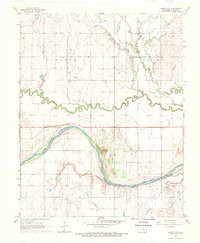
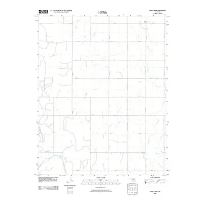
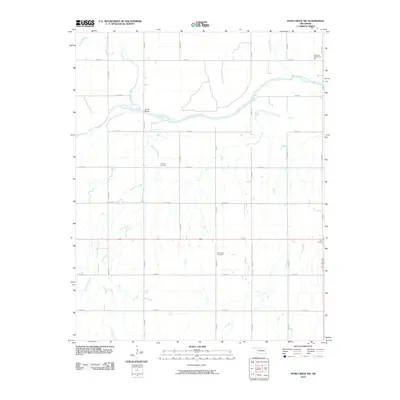
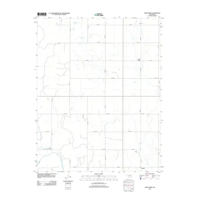
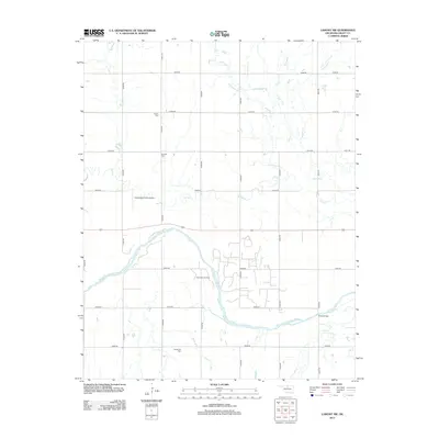
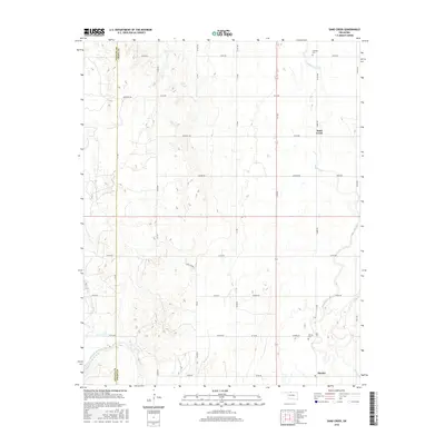
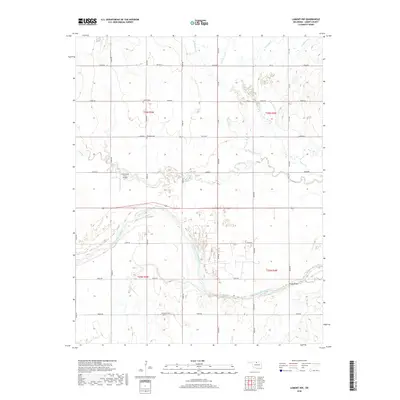
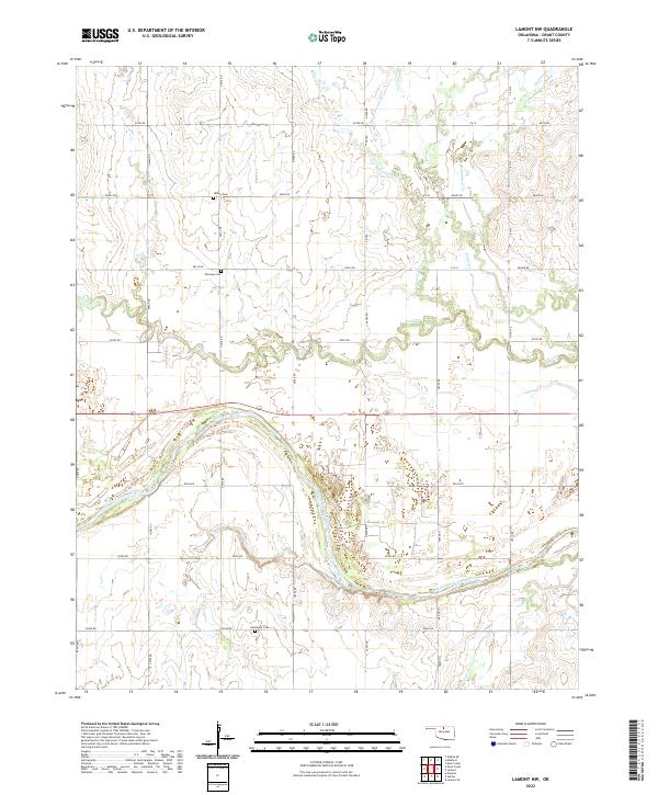
1968 Map of Lamont NW
USGS Topo · Published 1969About this map
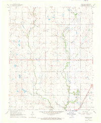
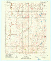
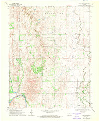
The Salt Fork Arkansas River carves a sweeping arc through the heart of this North Central Oklahoma landscape, defining the fertile plains of Rich Valley. This 1968 field-checked survey reveals an active petroleum landscape, with an expansive Oil Field and numerous Oil Wells and Drill Holes scattered across the township sections. The river's path is marked by infrastructure like the Dolan Bridge, while the upland prairie is dissected by a network of drainage systems including Pond Creek, Polecat Creek, and Bullwacker Creek.
Find a feature on this map
18 named features on this map. Tap any name to fly to it.
Don’t see what you’re looking for? This feature index may not catch every label — zoom into the map to look around manually.
Map Details
Editions of this 1968 Lamont NW Map
This is the sole edition of this map. No revisions or reprints were ever made.
Historical Maps of Grant County Through Time
42 maps found
1968 Lamont NW
Grant County, OK
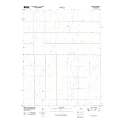
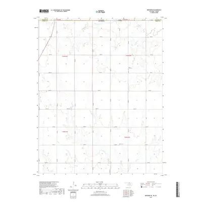
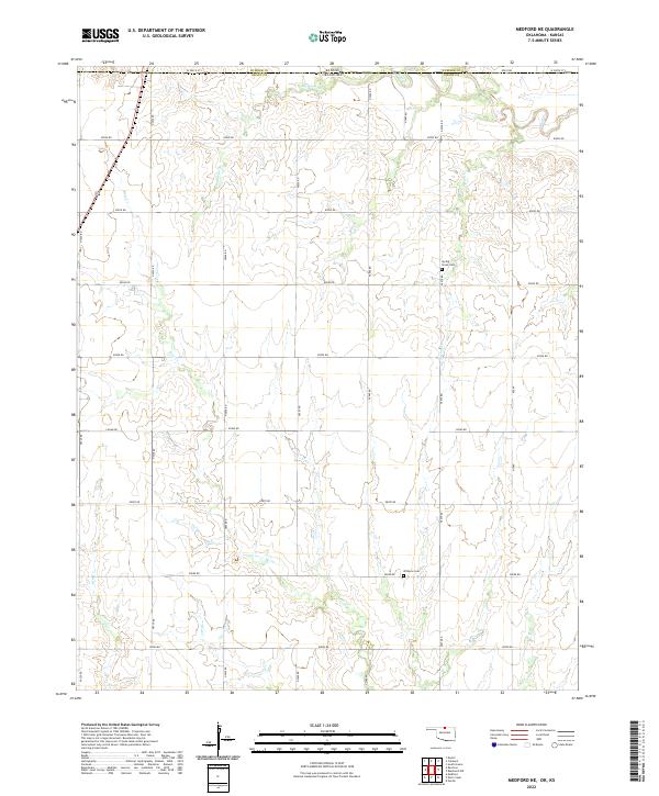
1968 Medford NE
Grant County, OK
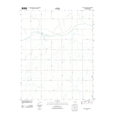
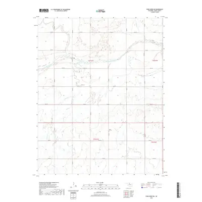
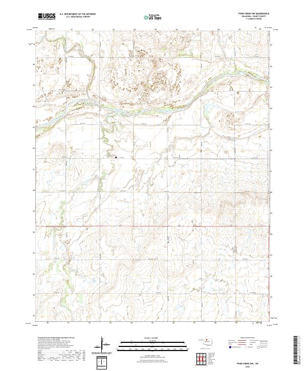
1968 Pond Creek NW
Grant County, OK
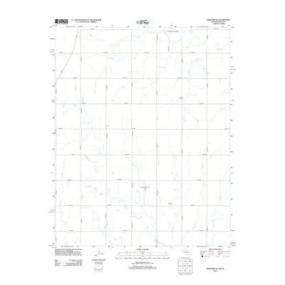
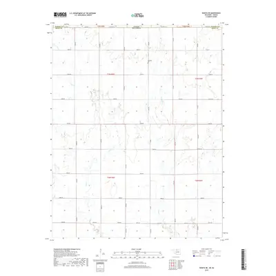
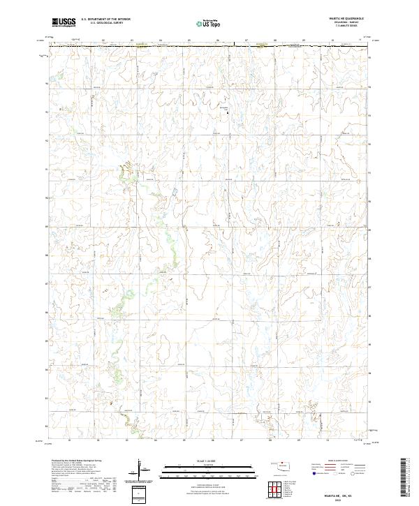
1968 Wakita NE
Grant County, OK
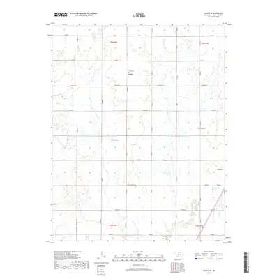
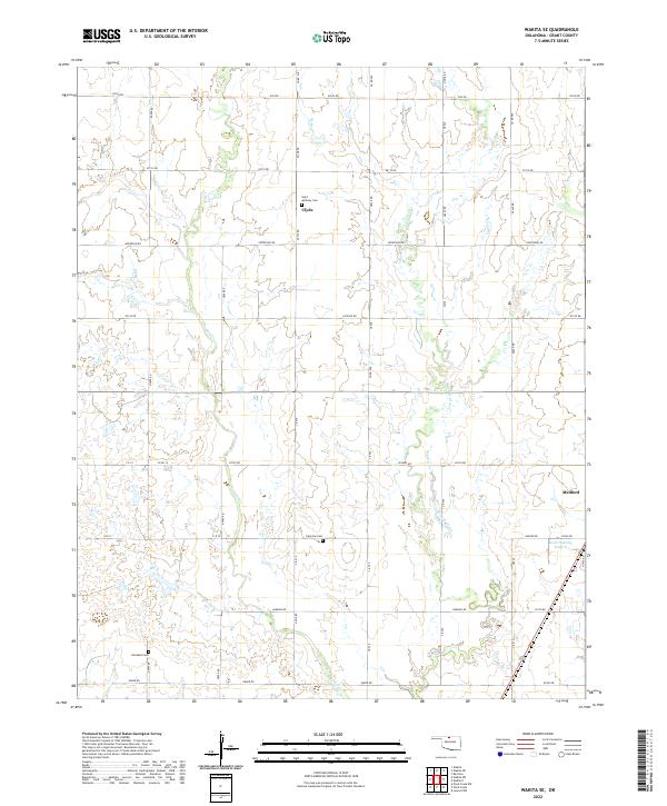
1968 Wakita SE
Grant County, OK
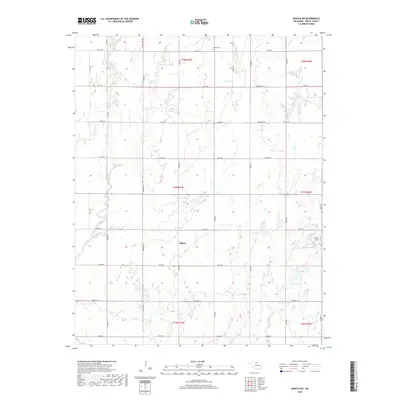
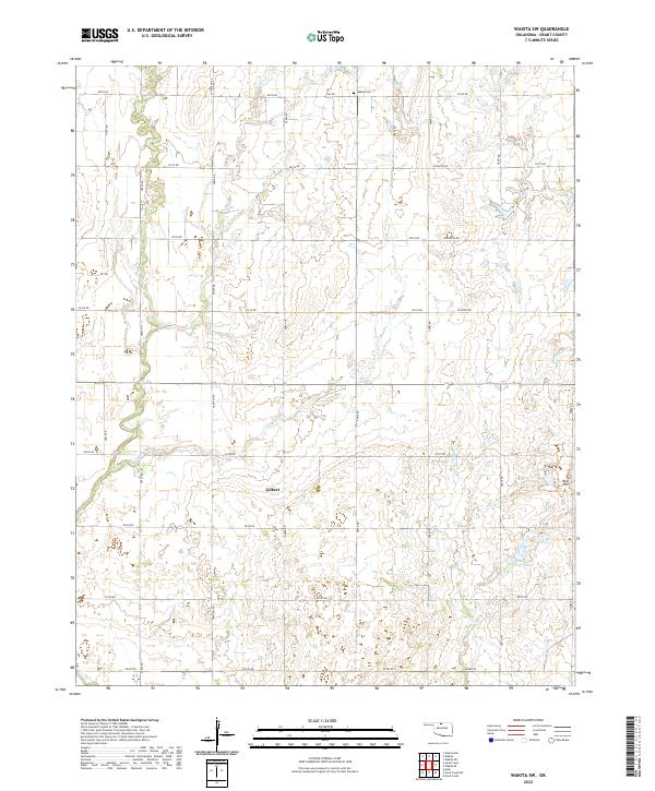
1968 Wakita SW
Grant County, OK
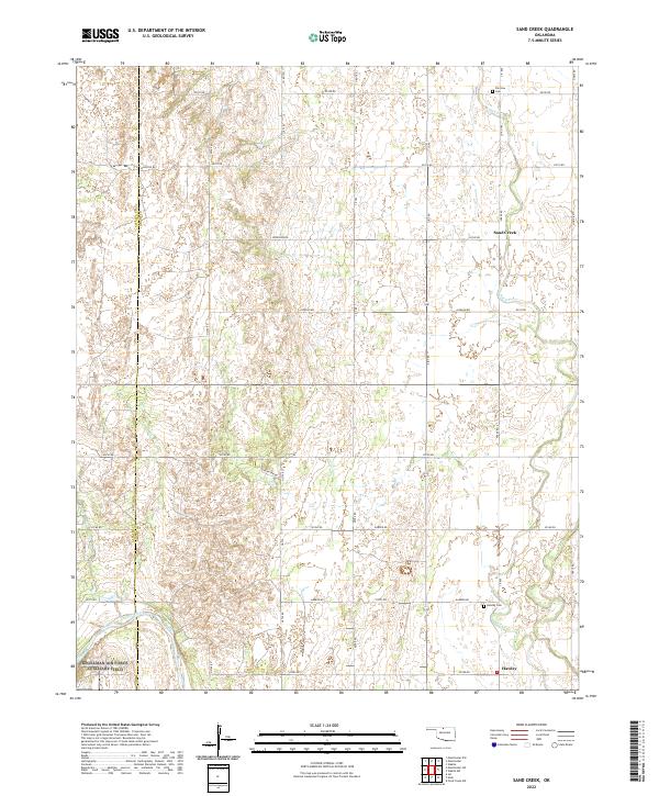
1969 Sand Creek
Grant County, OK
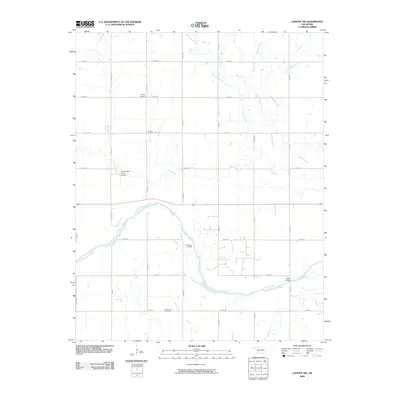
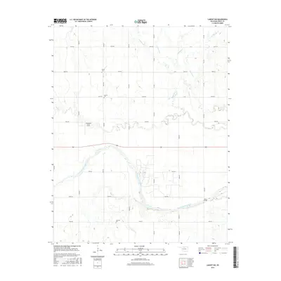
2009 Lamont NW
Grant County, OK
2009 Sand Creek
Grant County, OK
2009 Wakita SE
Grant County, OK
2009 Wakita SW
Grant County, OK
2010 Medford NE
Grant County, OK
2010 Pond Creek NW
Grant County, OK
2010 Wakita NE
Grant County, OK
2012 Medford NE
Grant County, OK
2012 Pond Creek NW
Grant County, OK
2012 Sand Creek
Grant County, OK
2012 Wakita NE
Grant County, OK
2012 Wakita SE
Grant County, OK
2012 Wakita SW
Grant County, OK
2013 Lamont NW
Grant County, OK
2016 Lamont NW
Grant County, OK
2016 Medford NE
Grant County, OK
2016 Pond Creek NW
Grant County, OK
2016 Sand Creek
Grant County, OK
2016 Wakita NE
Grant County, OK
2016 Wakita SE
Grant County, OK
2016 Wakita SW
Grant County, OK
2018 Lamont NW
Grant County, OK
2018 Medford NE
Grant County, OK
2018 Pond Creek NW
Grant County, OK
2018 Sand Creek
Grant County, OK
2018 Wakita NE
Grant County, OK
2018 Wakita SE
Grant County, OK
2018 Wakita SW
Grant County, OK
2022 Lamont NW
Grant County, OK
2022 Medford NE
Grant County, OK
2022 Pond Creek NW
Grant County, OK
2022 Sand Creek
Grant County, OK
2022 Wakita NE
Grant County, OK
2022 Wakita SE
Grant County, OK
2022 Wakita SW
Grant County, OK