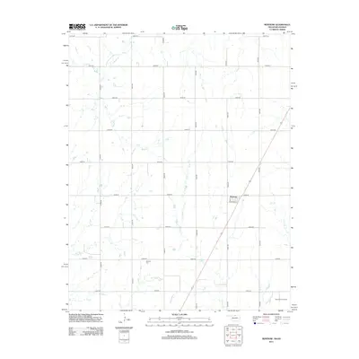
2012 Map of Renfrow
USGS Topo · Published 2012About this map
Renfrow sits as a quiet rail-aligned settlement in Grant County, oriented along the diagonal path of the railway and intersecting streets like Chicago St and 2nd St. The surrounding landscape is defined by a grid of rural section roads and the meandering courses of Wolf Cr and Polecat Cr. This 2012 survey illustrates the enduring agricultural and resource-based character of the Oklahoma-Kansas borderlands, where the land is partitioned for both farming and energy extraction.
Find a feature on this map
24 named features on this map. Tap any name to fly to it.
Don’t see what you’re looking for? This feature index may not catch every label — zoom into the map to look around manually.
Map Details
Editions of this 2012 Renfrow Map
This is the sole edition of this map. No revisions or reprints were ever made.
Other maps of this area

1889 · Caldwell
USGS Topo · 1:125,000

1893 · Caldwell
USGS Topo · 1:125,000

1897 · Caldwell
USGS Topo · 1:125,000

1955 · Wichita
USGS Topo · 1:250,000

1955 · Enid
USGS Topo · 1:250,000

1958 · Enid
USGS Topo · 1:250,000

1958 · Wichita
USGS Topo · 1:250,000

1968 · Deer Creek
USGS Topo · 1:24,000

1968 · Wakita SE
USGS Topo · 1:24,000

1968 · Renfrow
USGS Topo · 1:24,000