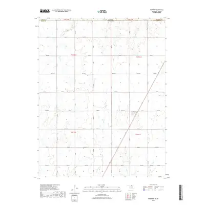
2018 Map of Renfrow
USGS Topo · Published 2018About this map
Renfrow sits at the heart of this North Central Oklahoma prairie landscape, situated along a primary transportation corridor on the eastern edge of Grant County. The map documents a rural environment organized by the Public Land Survey System, where a rigid grid of section-line roads like Renfrow Rd and McClain Rd defines the agricultural parcels. This geometric order is broken only by the meandering paths of several regional waterways, including Wolf Cr and Polecat Cr, which drain the open country toward the south and east. Near the center of the township, the Richland Cem provides a focal point for genealogical research, serving as a quiet landmark among the expansive fields. The proximity to the Kansas state line is evident at the northern margin, where Sumner County and Grant County meet along the border.
Find a feature on this map
54 named features on this map. Tap any name to fly to it.
Don’t see what you’re looking for? This feature index may not catch every label — zoom into the map to look around manually.
Map Details
Editions of this 2018 Renfrow Map
This is the sole edition of this map. No revisions or reprints were ever made.
Other maps of this area

1889 · Caldwell
USGS Topo · 1:125,000

1893 · Caldwell
USGS Topo · 1:125,000

1897 · Caldwell
USGS Topo · 1:125,000

1955 · Wichita
USGS Topo · 1:250,000

1955 · Enid
USGS Topo · 1:250,000

1958 · Enid
USGS Topo · 1:250,000

1958 · Wichita
USGS Topo · 1:250,000

1968 · Deer Creek
USGS Topo · 1:24,000

1968 · Wakita SE
USGS Topo · 1:24,000

1968 · Renfrow
USGS Topo · 1:24,000