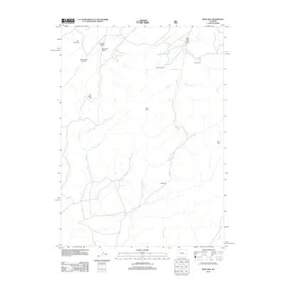
2012 Map of Reno Hill
USGS Topo · Published 2012About this map
Pine Mountain and the surrounding drainage basins of Natrona County define this landscape, where high-country canyons and flats dictate the local movement of livestock and water. The map documents a classic Western grazing geography, anchored by the Barker Sheep Camp and Stewart Ranch, which represent the enduring pastoral heritage of the region. The terrain is deeply incised by watercourses such as Deer Cr and Soldier Cr, which have carved out notable landmarks like Rainbow Canyon, Moonshine Canyon, and Sensebaugh Canyon.
Find a feature on this map
25 named features on this map. Tap any name to fly to it.
Don’t see what you’re looking for? This feature index may not catch every label — zoom into the map to look around manually.
Map Details
Editions of this 2012 Reno Hill Map
This is the sole edition of this map. No revisions or reprints were ever made.
Other maps of this area

1954 · Torrington
USGS Topo · 1:250,000

1955 · Casper
USGS Topo · 1:250,000

1958 · Casper
USGS Topo · 1:250,000

1958 · Torrington
USGS Topo · 1:250,000

1959 · Squaw Spring
USGS Topo · 1:24,000

1959 · Bates Creek Reservoir
USGS Topo · 1:24,000

1960 · Ice Cave Mountain
USGS Topo · 1:24,000

1960 · Banner Mtn
USGS Topo · 1:24,000
1960 · Otter Creek
USGS Topo · 1:24,000

1960 · Reno Hill
USGS Topo · 1:24,000