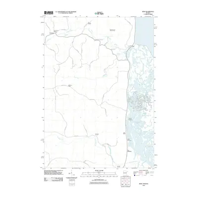
2010 Map of Reno
USGS Topo · Published 2010About this map
The complex wetland network of the Minnesota Slough and Running Slough dominates the eastern corridor of this landscape near the tri-state border. This intricate system of channels and islands includes features like Hayshore Lake, Mud Lake, and the aptly named Ice Haul Slough, illustrating the seasonal and hydrological character of the river valley. On the higher ground to the west, small settlements like Freeburg and Reno are connected by a web of township and county roads that navigate the ridges and valleys.
Find a feature on this map
49 named features on this map. Tap any name to fly to it.
Don’t see what you’re looking for? This feature index may not catch every label — zoom into the map to look around manually.
Map Details
Editions of this 2010 Reno Map
This is the sole edition of this map. No revisions or reprints were ever made.
Other maps of this area

1903 · Waukon
USGS Topo · 1:125,000

1926 · Stoddard
USGS Topo · 1:62,500

1929 · Ferryville
USGS Topo · 1:62,500

1932 · Ferryville
USGS Topo · 1:62,500

1956 · Brownsville
USGS Topo · 1:62,500

1958 · La Crosse
USGS Topo · 1:250,000

1961 · La Crosse
USGS Topo · 1:250,000

1965 · La Crosse
USGS Topo · 1:250,000
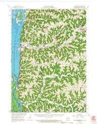
1965 · Stoddard
USGS Topo · 1:62,500

1966 · Ferryville
USGS Topo · 1:62,500