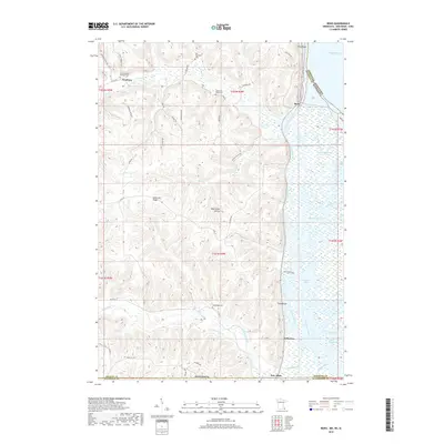
2019 Map of Reno
USGS Topo · Published 2019About this map
Jefferson Ridge and Twin Bluffs define the high ground of this tri-state border region, where the deep-cut valleys of the driftless area meet the expansive wetlands of the Mississippi River. The settlement of Freeburg sits at the confluence of Crooked Cr and several ridge roads, while the village of Reno overlooks a complex network of backwaters including Minnesota Slough and Middle Slough. Evidence of early community life is preserved through several rural burial sites, such as the Old Methodist Cem and the Saint Nicholas Catholic Cem. To the south, New Albin marks the Iowa border where Winnebago Creek flows toward the river. This landscape is a labyrinth of side channels and sloughs, notably Ice Haul Slough and Pickerel Slough, which were central to the local river-based economy and navigation before modern management changed the upper Mississippi's character.
Find a feature on this map
60 named features on this map. Tap any name to fly to it.
Don’t see what you’re looking for? This feature index may not catch every label — zoom into the map to look around manually.
Map Details
Editions of this 2019 Reno Map
This is the sole edition of this map. No revisions or reprints were ever made.
Other maps of this area

1903 · Waukon
USGS Topo · 1:125,000

1926 · Stoddard
USGS Topo · 1:62,500

1929 · Ferryville
USGS Topo · 1:62,500

1932 · Ferryville
USGS Topo · 1:62,500

1956 · Brownsville
USGS Topo · 1:62,500

1958 · La Crosse
USGS Topo · 1:250,000

1961 · La Crosse
USGS Topo · 1:250,000

1965 · La Crosse
USGS Topo · 1:250,000
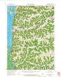
1965 · Stoddard
USGS Topo · 1:62,500

1966 · Ferryville
USGS Topo · 1:62,500