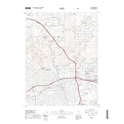
2021 Map of Reno
USGS Topo · Published 2021About this map
The city of Reno sits at the foot of Peavine Mountain in this detailed 2021 survey, illustrating the dense urban development within the Truckee Meadows. The map captures the heart of the region's civic and educational life, featuring the Washoe County Courthouse and the sprawling campus of the University of Nevada Reno. Industrial and transit corridors are well-defined, following the Truckee River and connecting with Sparks to the east.
Find a feature on this map
58 named features on this map. Tap any name to fly to it.
Don’t see what you’re looking for? This feature index may not catch every label — zoom into the map to look around manually.
Map Details
Editions of this 2021 Reno Map
This is the sole edition of this map. No revisions or reprints were ever made.
Other maps of this area

1891 · Carson
USGS Topo · 1:125,000

1891 · Reno
USGS Topo · 1:125,000

1893 · Carson
USGS Topo · 1:125,000

1893 · Reno
USGS Topo · 1:125,000

1950 · Virginia City
USGS Topo · 1:62,500

1950 · Mt. Rose
USGS Topo · 1:62,500

1950 · Reno
USGS Topo · 1:62,500

1951 · Reno
USGS Topo · 1:62,500

1952 · Mt. Rose
USGS Topo · 1:62,500

1952 · Virginia City
USGS Topo · 1:62,500