
Loading...
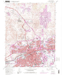
Loading map...1960 Map of Reno
USGS Topo · Published 1960About this map
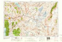
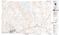
Reno and Sparks serve as the primary urban hubs in this 1960s study of western Nevada, a landscape defined by the drainage of the Truckee River into the terminal Pyramid Lake. The irrigation and water management systems of the era are clearly visible, anchored by the Lahontan Reservoir and the Stillwater Wildlife Management Area. Beyond the fertile valleys, the map captures the industrial and cultural footprint of the Great Basin, including the Olinghouse Mine and the vast Pyramid Lake Indian Reservation.
Find a feature on this map
135 named features on this map. Tap any name to fly to it.
Don’t see what you’re looking for? This feature index may not catch every label — zoom into the map to look around manually.
Map Details
Date Portrayed1960
Date Published1960
PublisherU.S. Geological Survey
Map TypeTopographic
Scale1:250000
Physical Dimensions32 x 22.1 inches
Editions of this 1960 Reno Map
2 editions found
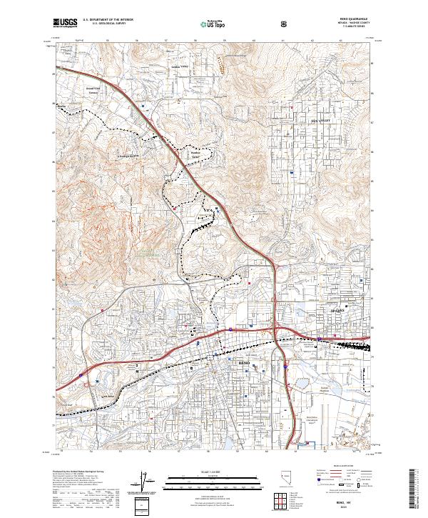
Historical Maps of Iron Stone Through Time
11 maps found



Featured Locations
Source Details
SourceU.S. Geological Survey
CopyrightPublic Domain