Loading...
Loading map...2022 Map of Rensselaer
USGS Topo · Published 2022About this map
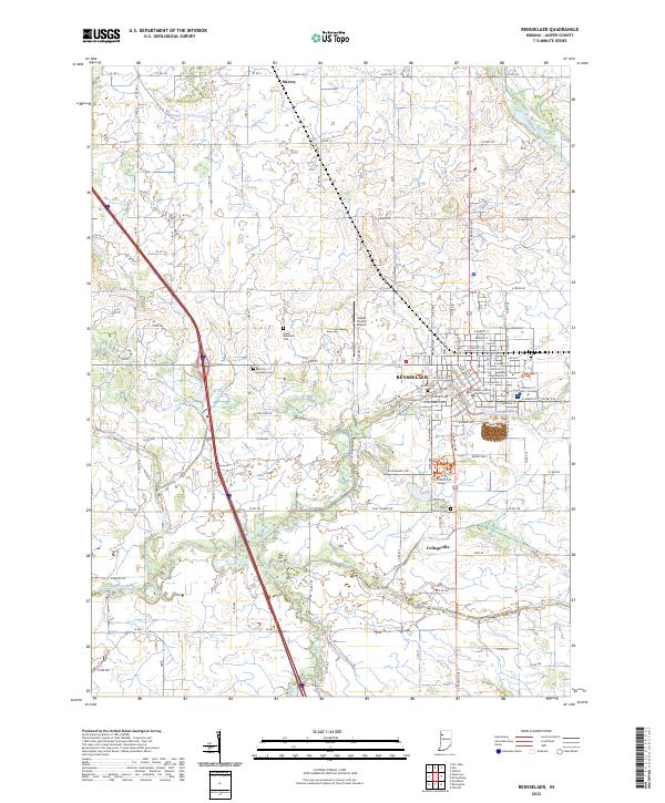
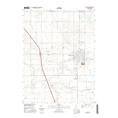
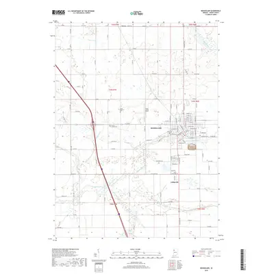
The Iroquois River meanders through the heart of Jasper County, defining the landscape where Rensselaer serves as the central hub. This modern survey captures the town's detailed street grid, anchored by the Jasper County Courthouse and extending toward the neighboring community of Collegeville. The map illustrates a region where managed drainage, seen in Prouty Ditch and Yeoman Ditch, supports the agricultural land surrounding the small settlement of Surrey.
Find a feature on this map
73 named features on this map. Tap any name to fly to it.
Don’t see what you’re looking for? This feature index may not catch every label — zoom into the map to look around manually.
Map Details
Date Portrayed2022
Date Published2022
PublisherU.S. Geological Survey
Map TypeTopographic
Scale1:24,000
Physical Dimensions24 x 29 inches
Editions of this 2022 Rensselaer Map
This is the sole edition of this map. No revisions or reprints were ever made.
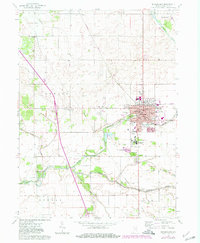
Historical Maps of Rensselaer Through Time
6 maps found
Featured Locations
Source Details
SourceU.S. Geological Survey
CopyrightPublic Domain