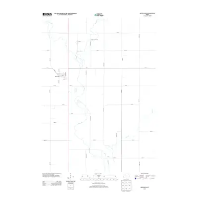
2013 Map of Renwick
USGS Topo · Published 2013About this map
Renwick serves as the primary hub of this north-central Iowa landscape, defined by its orderly street grid featuring Main St and Funk St. The town sits just west of the winding Boone River, which serpentines through the territory alongside its tributaries, Prairie Cr and Otter Cr. Further south, the settlement of Thrall is situated near the confluence of these waters, illustrating how early geography dictated local development. A significant infrastructure point is the Boone River Bridge, where Buchanan Ave crosses the water. This 2013 survey provides a modern look at the rural road network and the persistent agricultural layout that has shaped Humboldt County for generations, capturing the intersection of historical town sites and the natural hydrography of the region.
Find a feature on this map
31 named features on this map. Tap any name to fly to it.
Don’t see what you’re looking for? This feature index may not catch every label — zoom into the map to look around manually.
Map Details
Editions of this 2013 Renwick Map
This is the sole edition of this map. No revisions or reprints were ever made.
Other maps of this area

1923 · Fort Dodge
USGS Topo · 1:62,500

1954 · Waterloo
USGS Topo · 1:250,000

1954 · Fort Dodge
USGS Topo · 1:250,000

1955 · Waterloo
USGS Topo · 1:250,000

1957 · Fort Dodge
USGS Topo · 1:250,000

1958 · Fort Dodge
USGS Topo · 1:250,000

1972 · Kanawha SE
USGS Topo · 1:24,000

1972 · Corwith
USGS Topo · 1:24,000

1972 · Kanawha
USGS Topo · 1:24,000

1972 · Renwick
USGS Topo · 1:24,000