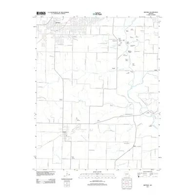
2021 Map of Republic
USGS Topo · Published 2021About this map
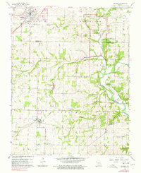
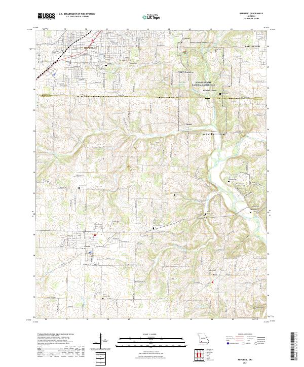
Wilson's Creek National Battlefield anchors the northeast portion of this survey, preserving the site of the first major American Civil War battle west of the Mississippi River. The map documents the landscape surrounding this historic ground, including Bloody Hill and the Manley Cem, where the high ground transitions toward the James River corridor. The geography is defined by a series of spring-fed waterways such as Shuyler Cr, Terrell Cr, and Wilsons Creek, which helped shape the early settlement patterns and agricultural development of both Greene and Christian counties.
Find a feature on this map
110 named features on this map. Tap any name to fly to it.
Don’t see what you’re looking for? This feature index may not catch every label — zoom into the map to look around manually.
Map Details
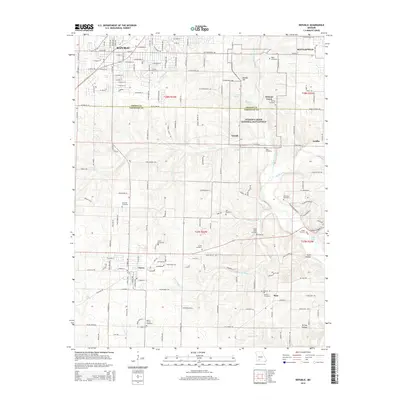
Editions of this 2021 Republic Map
This is the sole edition of this map. No revisions or reprints were ever made.
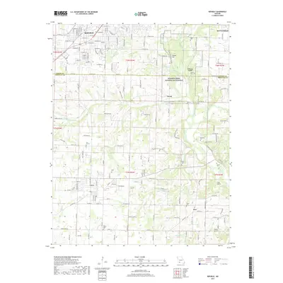
Historical Maps of Republic Through Time
6 maps found