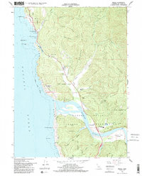
1966 Map of Requa
USGS Topo · Published 1992About this map
The Klamath River reaches the Pacific at the settlement of Requa, where the Hoopa Indian Reservation meets the northern California coastline. This mid-1960s terrain is characterized by steep ridges like Teds Ridge and Mynot Ridge falling toward the sea, largely protected within the Del Norte Coast Redwoods State Park. In the river estuary, sandbars and flats such as Hatzis Flat and Waukell Flat suggest the shifting nature of the river mouth, while nearby Rancheria and Resighini represent significant cultural and tribal anchors. Landmarks like the Louis P DeMartin Sr Memorial Bridge and the Trees of Mystery along Route 101 indicate the early era of roadside tourism. Further inland, the Alder Forestry Conservation Camp and Keating Sch provide evidence of local infrastructure and resource management during this period.
Find a feature on this map
52 named features on this map. Tap any name to fly to it.
Don’t see what you’re looking for? This feature index may not catch every label — zoom into the map to look around manually.
Map Details
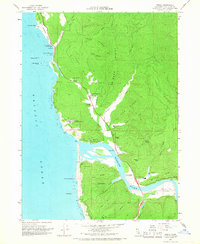
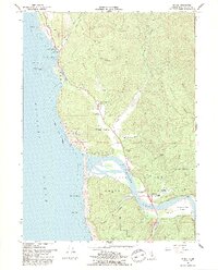
Editions of this 1966 Requa Map
3 editions found
Other maps of this area

1922 · Preston Peak
USGS Topo · 1:125,000

1925 · Hoopa
USGS Topo · 1:125,000

1929 · Crescent City
USGS Topo · 1:125,000

1945 · Ship Mountain
USGS Topo · 1:62,500

1945 · Orick
USGS Topo · 1:62,500

1945 · Requa
USGS Topo · 1:62,500

1945 · Tectah Creek
USGS Topo · 1:62,500

1948 · Weed
USGS Topo · 1:250,000

1949 · Eureka
USGS Topo · 1:250,000

1950 · Weed
USGS Topo · 1:250,000