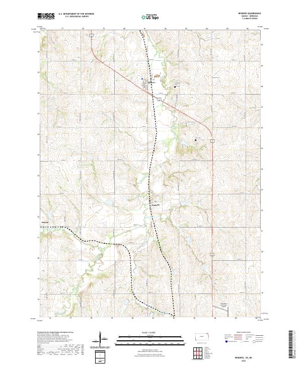
2022 Map of Reserve
USGS Topo · Published 2022About this map
The small rural community of Reserve sits at a highway junction in northern Brown County, defined by a rectilinear grid of section roads named after local birds and wildlife. The landscape is deeply dissected by drainage systems like Walnut Cr and Spring Br, which carve through the agricultural fields of the High Plains. Just to the south, the settlement of Padonia is situated near the confluence of several small streams, while the village of Hamlin marks the western edge of this survey area.
Find a feature on this map
37 named features on this map. Tap any name to fly to it.
Don’t see what you’re looking for? This feature index may not catch every label — zoom into the map to look around manually.
Map Details
Editions of this 2022 Reserve Map
This is the sole edition of this map. No revisions or reprints were ever made.
Other maps of this area

1885 · Atchison
USGS Topo · 1:125,000

1888 · Atchison
USGS Topo · 1:125,000

1888 · Hiawatha
USGS Topo · 1:125,000

1893 · Atchison
USGS Topo · 1:125,000

1894 · Hiawatha
USGS Topo · 1:125,000

1915 · Falls City
USGS Topo · 1:62,500

1920 · Craig
USGS Topo · 1:62,500

1950 · Kansas City
USGS Topo · 1:250,000

1954 · Kansas City
USGS Topo · 1:250,000

1955 · Nebraska City
USGS Topo · 1:250,000