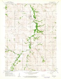
1960 Map of Reserve
USGS Topo · Published 1962About this map
Walnut Creek and its winding tributaries define the agrarian landscape of northern Brown County, Kansas, as it appeared in the early 1960s. The settlement of Reserve sits at a critical junction of the Missouri Pacific railroad, while Padonia and Hamlin serve as smaller rural hubs nearby. A significant portion of the eastern landscape is marked by the Iowa and Fox Indian Reservation Boundary, illustrating the historical land divisions and sovereignty that persist in this corner of the state.
Find a feature on this map
25 named features on this map. Tap any name to fly to it.
Don’t see what you’re looking for? This feature index may not catch every label — zoom into the map to look around manually.
Map Details
Editions of this 1960 Reserve Map
This is the sole edition of this map. No revisions or reprints were ever made.
Other maps of this area

1885 · Atchison
USGS Topo · 1:125,000

1888 · Atchison
USGS Topo · 1:125,000

1888 · Hiawatha
USGS Topo · 1:125,000

1893 · Atchison
USGS Topo · 1:125,000

1894 · Hiawatha
USGS Topo · 1:125,000

1915 · Falls City
USGS Topo · 1:62,500

1920 · Craig
USGS Topo · 1:62,500

1950 · Kansas City
USGS Topo · 1:250,000

1954 · Kansas City
USGS Topo · 1:250,000

1955 · Nebraska City
USGS Topo · 1:250,000