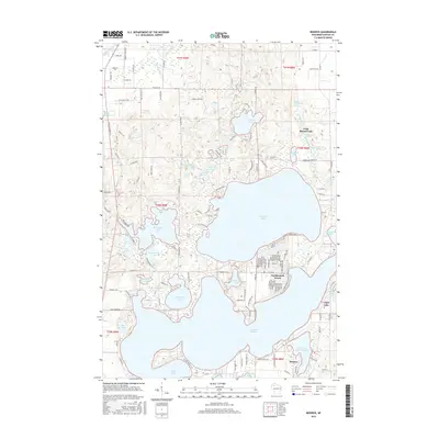
2015 Map of Reserve
USGS Topo · Published 2015About this map
Grindstone Lake and the sprawling waters of Lac Courte Oreilles dominate this landscape in Sawyer County, defining a region where water and shoreline have long dictated the pattern of human settlement. The community of Northwoods Beach sits tucked along the northern reaches of the larger lake, while the settlement of Reserve is positioned near the southern narrows of Little Lac Courte Oreilles. This area is characterized by an intricate network of smaller lakes and springs, many bearing names that suggest a deep connection to the local environment and its history.
Find a feature on this map
142 named features on this map. Tap any name to fly to it.
Don’t see what you’re looking for? This feature index may not catch every label — zoom into the map to look around manually.
Map Details
Editions of this 2015 Reserve Map
This is the sole edition of this map. No revisions or reprints were ever made.
Other maps of this area

1944 · Couderay
USGS Topo · 1:48,000

1944 · Hayward
USGS Topo · 1:48,000

1947 · Chittamo
USGS Topo · 1:48,000

1948 · Couderay
USGS Topo · 1:48,000

1948 · Stone Lake
USGS Topo · 1:48,000

1949 · Chittamo
USGS Topo · 1:48,000

1950 · Stone Lake
USGS Topo · 1:48,000

1953 · Ashland
USGS Topo · 1:250,000

1953 · Rice Lake
USGS Topo · 1:250,000

1958 · Ashland
USGS Topo · 1:250,000