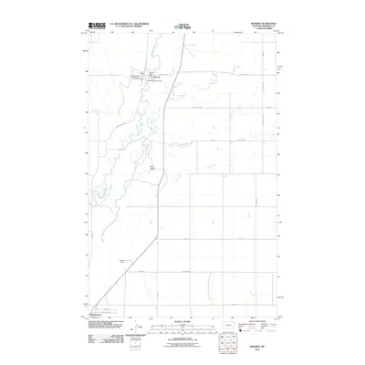
2011 Map of Reserve
USGS Topo · Published 2011About this map
Big Muddy Creek meanders through this Sheridan County landscape, anchoring the small community of Reserve. This survey captures the town at a moment of continued agricultural utility, centered around the Prairie States Cooperative and the Reserve Post Office. The local infrastructure is further detailed by the presence of the Medicine Lake Vol Fire Dept Sta 3 Reserve, reflecting the essential services of this northern Montana township.
Find a feature on this map
31 named features on this map. Tap any name to fly to it.
Don’t see what you’re looking for? This feature index may not catch every label — zoom into the map to look around manually.
Map Details
Editions of this 2011 Reserve Map
This is the sole edition of this map. No revisions or reprints were ever made.
Other maps of this area

1914 · Homestead
USGS Topo · 1:62,500

1947 · Capeneys Lake
USGS Topo · 1:24,000

1947 · Homestead
USGS Topo · 1:24,000

1948 · Homestead
USGS Topo · 1:24,000

1948 · Capeneys Lake
USGS Topo · 1:24,000

1948 · Reserve SE
USGS Topo · 1:24,000

1948 · Medicine Lake
USGS Topo · 1:24,000

1948 · Reserve
USGS Topo · 1:24,000

1948 · Alkali Coulee
USGS Topo · 1:24,000

1948 · Antelope
USGS Topo · 1:24,000