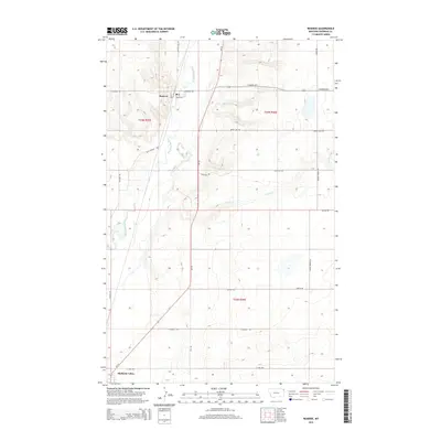
2014 Map of Reserve
USGS Topo · Published 2014About this map
Reserve and the northern reaches of Medicine Lake define this Sheridan County landscape, where the prairie is dissected by the meandering course of Big Muddy Creek. This survey captures the rural infrastructure of the region, anchored by a grid of section-line roads that provide access to the vast agricultural tracts of the Missouri Plateau. Tributaries like Reserve Cr, Neiser Cr, and Otter Cr cut through the terrain, illustrating the natural drainage patterns that have shaped local land use for generations.
Find a feature on this map
24 named features on this map. Tap any name to fly to it.
Don’t see what you’re looking for? This feature index may not catch every label — zoom into the map to look around manually.
Map Details
Editions of this 2014 Reserve Map
This is the sole edition of this map. No revisions or reprints were ever made.
Other maps of this area

1914 · Homestead
USGS Topo · 1:62,500

1947 · Capeneys Lake
USGS Topo · 1:24,000

1947 · Homestead
USGS Topo · 1:24,000

1948 · Homestead
USGS Topo · 1:24,000

1948 · Capeneys Lake
USGS Topo · 1:24,000

1948 · Reserve SE
USGS Topo · 1:24,000

1948 · Medicine Lake
USGS Topo · 1:24,000

1948 · Reserve
USGS Topo · 1:24,000

1948 · Alkali Coulee
USGS Topo · 1:24,000

1948 · Antelope
USGS Topo · 1:24,000