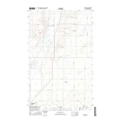
2017 Map of Reserve
USGS Topo · Published 2017About this map
Reserve serves as a central hub in this corner of Sheridan County, situated along the Big Muddy Creek drainage. The landscape is defined by a grid of rural routes that hint at the region's agricultural and homesteading history, including Whitish Hill Rd and Garden Grove Rd. Water is a precious and prominent feature in this arid environment, represented by the meandering paths of Otter Cr and Neiser Cr, alongside the depression of Brush Lake to the east.
Find a feature on this map
27 named features on this map. Tap any name to fly to it.
Don’t see what you’re looking for? This feature index may not catch every label — zoom into the map to look around manually.
Map Details
Editions of this 2017 Reserve Map
This is the sole edition of this map. No revisions or reprints were ever made.
Other maps of this area

1914 · Homestead
USGS Topo · 1:62,500

1947 · Capeneys Lake
USGS Topo · 1:24,000

1947 · Homestead
USGS Topo · 1:24,000

1948 · Homestead
USGS Topo · 1:24,000

1948 · Capeneys Lake
USGS Topo · 1:24,000

1948 · Reserve SE
USGS Topo · 1:24,000

1948 · Medicine Lake
USGS Topo · 1:24,000

1948 · Reserve
USGS Topo · 1:24,000

1948 · Alkali Coulee
USGS Topo · 1:24,000

1948 · Antelope
USGS Topo · 1:24,000