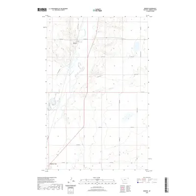
2020 Map of Reserve
USGS Topo · Published 2020About this map
Reserve and the northern reaches of Medicine Lake define this eastern Montana landscape, where the meandering path of Big Muddy Creek carves through the prairie. The geography is marked by a complex network of named drainage systems, including Otter Creek, Reserve Creek, and Neiser Creek, which flow toward the larger creek valley. In the eastern portion of the quadrangle, Brush Lake sits as a notable hydrologic feature. The map reveals a grid of rural roads often bearing local family or descriptive names such as Whittish Hill Rd, Rock Springs Rd, and the curiously named Whiskey Rd. These routes, along with the Burma Trl, indicate the long-standing agricultural and ranching patterns of Sheridan County, where transportation follows both the section lines and the natural contours of the creek beds.
Find a feature on this map
21 named features on this map. Tap any name to fly to it.
Don’t see what you’re looking for? This feature index may not catch every label — zoom into the map to look around manually.
Map Details
Editions of this 2020 Reserve Map
This is the sole edition of this map. No revisions or reprints were ever made.
Other maps of this area

1914 · Homestead
USGS Topo · 1:62,500

1947 · Capeneys Lake
USGS Topo · 1:24,000

1947 · Homestead
USGS Topo · 1:24,000

1948 · Homestead
USGS Topo · 1:24,000

1948 · Capeneys Lake
USGS Topo · 1:24,000

1948 · Reserve SE
USGS Topo · 1:24,000

1948 · Medicine Lake
USGS Topo · 1:24,000

1948 · Reserve
USGS Topo · 1:24,000

1948 · Alkali Coulee
USGS Topo · 1:24,000

1948 · Antelope
USGS Topo · 1:24,000