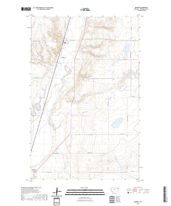
2024 Map of Reserve
USGS Topo · Published 2024About this map
Reserve and Medicine Lake anchor this corner of Sheridan County, situated along the meandering course of Big Muddy Creek. The landscape is defined by the prairie drainages of Reserve Creek, Otter Creek, and Neiser Creek, which flow through a network of Section-line roads and named routes like Whiskey Rd and Burma Trl. A notable local landmark is the Po in Reserve, serving as a focal point for the surrounding rural homesteads.
Find a feature on this map
24 named features on this map. Tap any name to fly to it.
Don’t see what you’re looking for? This feature index may not catch every label — zoom into the map to look around manually.
Map Details
Editions of this 2024 Reserve Map
This is the sole edition of this map. No revisions or reprints were ever made.
Other maps of this area

1914 · Homestead
USGS Topo · 1:62,500

1947 · Capeneys Lake
USGS Topo · 1:24,000

1947 · Homestead
USGS Topo · 1:24,000

1948 · Homestead
USGS Topo · 1:24,000

1948 · Capeneys Lake
USGS Topo · 1:24,000

1948 · Reserve SE
USGS Topo · 1:24,000

1948 · Medicine Lake
USGS Topo · 1:24,000

1948 · Reserve
USGS Topo · 1:24,000

1948 · Alkali Coulee
USGS Topo · 1:24,000

1948 · Antelope
USGS Topo · 1:24,000