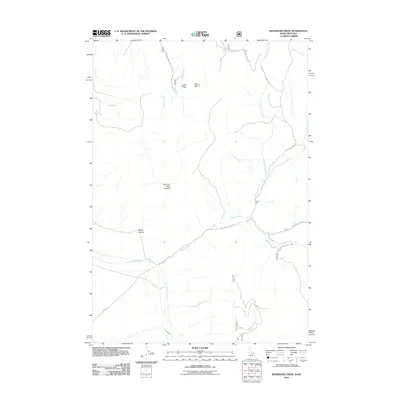
2011 Map of Reservoir Creek
USGS Topo · Published 2011About this map
Lower Sweeney Mine and the Upper Sweeney Mine anchor the northern reaches of this Beaverhead County landscape, signaling the enduring mining activity in these high basins. The drainage system is the dominant structural feature, defined by the convergence of Hawley Creek and Bull Creek as they flow through the mountain gaps. Access to these elevations is maintained through a network of forest roads including Wildcat Creek Rd and Reservoir Creek Rd, which provide passage into the steep terrain of Left Fork Rock Canyon and Rocky Canyon. These routes connect the primary water sources, such as Quaking Asp Creek and Reservoir Creek, to the high-country mines, illustrating the logistical patterns of resource extraction and watershed management in the early twenty-first century.
Find a feature on this map
19 named features on this map. Tap any name to fly to it.
Don’t see what you’re looking for? This feature index may not catch every label — zoom into the map to look around manually.
Map Details
Editions of this 2011 Reservoir Creek Map
This is the sole edition of this map. No revisions or reprints were ever made.
Other maps of this area

1955 · Dubois
USGS Topo · 1:250,000

1956 · Leadore
USGS Topo · 1:62,500

1956 · Morrison Lake
USGS Topo · 1:62,500

1958 · Dubois
USGS Topo · 1:250,000

1965 · Deadman Pass
USGS Topo · 1:24,000

1965 · Bannock Pass
USGS Topo · 1:24,000
1965 · Medicine Lodge Peak
USGS Topo · 1:24,000

1980 · Leadore
USGS Topo · 1:100,000
1987 · Morrison Lake
USGS Topo · 1:24,000

1987 · Purcell Spring
USGS Topo · 1:24,000