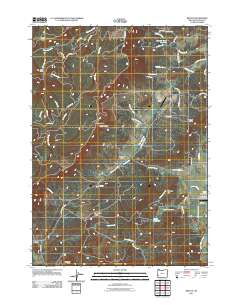
2011 Map of Reston
USGS Topo · Published 2011About this map
The settlement of Reston anchors the southwestern corner of this survey, set against a backdrop of complex timber and ranching terrain in Douglas County. Central to the landscape is the Flournoy Valley, a distinct topographical basin that supports local aviation via the Flournoy Valley Airport and residential clusters along Old Settlement Ln. This valley system is defined by its water management, featuring several small impoundments including Wylie Reservoir, Smith Reservoir, and Yoder Reservoir near the Lookingglass Airport.
Find a feature on this map
87 named features on this map. Tap any name to fly to it.
Don’t see what you’re looking for? This feature index may not catch every label — zoom into the map to look around manually.
Map Details
Editions of this 2011 Reston Map
This is the sole edition of this map. No revisions or reprints were ever made.
Other maps of this area

1897 · Roseburg
USGS Topo · 1:125,000

1900 · Roseburg
USGS Topo · 1:125,000
1928 · Sitkum
USGS Topo · 1:125,000
1954 · Sutherlin
USGS Topo · 1:62,500
1955 · Camas Valley
USGS Topo · 1:62,500
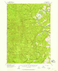
1955 · Tyee
USGS Topo · 1:62,500
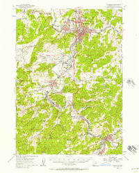
1955 · Roseburg
USGS Topo · 1:62,500

1958 · Roseburg
USGS Topo · 1:250,000

1959 · Roseburg
USGS Topo · 1:250,000
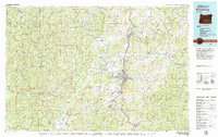
1979 · Roseburg
USGS Topo · 1:100,000