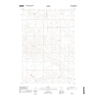
2017 Map of Reva NE
USGS Topo · Published 2017About this map
Saint Isidore Cem stands as a focal point of this remote corner of Harding County, marking a site of local genealogy and history amidst a landscape defined by its complex drainage network. The terrain is dominated by the westward-flowing South Fork Grand River, which is fed by numerous seasonal waterways including Middle Cr, Skull Cr, and Brush Cr. These drainages cut through the high plains, revealing the topographic character of the region as it transitions between ranch lands and the high points of the Dakota prairie.
Find a feature on this map
19 named features on this map. Tap any name to fly to it.
Don’t see what you’re looking for? This feature index may not catch every label — zoom into the map to look around manually.
Map Details
Editions of this 2017 Reva NE Map
This is the sole edition of this map. No revisions or reprints were ever made.
Other maps of this area

1935 · Reva
USGS Topo · 1:125,000

1954 · Lemmon
USGS Topo · 1:250,000

1957 · Lemmon
USGS Topo · 1:250,000

1968 · Reva
USGS Topo · 1:24,000

1968 · Ralph SW
USGS Topo · 1:24,000

1968 · Ralph
USGS Topo · 1:24,000

1969 · Battleship Rock
USGS Topo · 1:24,000

1969 · Reva NW
USGS Topo · 1:24,000

1969 · Reva NE
USGS Topo · 1:24,000

1980 · Camp Crook
USGS Topo · 1:100,000