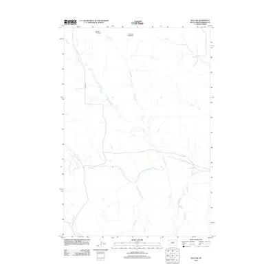
2012 Map of Reva NW
USGS Topo · Published 2012About this map
Big Two Top Butte and Little Two Top Butte dominate the northern horizon of this Harding County landscape, serving as prominent landmarks in a region defined by its complex drainage network. The topographic detail follows the meandering course of Horse Cr as it winds southward to join the S Fork Grand River, which bisects the southern half of the quadrangle. This 2012 survey illustrates the sparse, high-plains infrastructure typical of the area, where Lincoln Rd represents one of the few primary overland routes connecting the northern buttes to the river valley. The map meticulously tracks numerous seasonal watercourses, including Turtle Cr, Skull Cr, and Prairie Dog Cr, offering a detailed view of the watershed patterns that have shaped land use and grazing in this part of South Dakota.
Find a feature on this map
14 named features on this map. Tap any name to fly to it.
Don’t see what you’re looking for? This feature index may not catch every label — zoom into the map to look around manually.
Map Details
Editions of this 2012 Reva NW Map
This is the sole edition of this map. No revisions or reprints were ever made.
Other maps of this area

1935 · Reva
USGS Topo · 1:125,000

1954 · Lemmon
USGS Topo · 1:250,000

1957 · Lemmon
USGS Topo · 1:250,000

1968 · Reva
USGS Topo · 1:24,000

1968 · Ralph SW
USGS Topo · 1:24,000

1968 · Ludlow SE
USGS Topo · 1:24,000

1968 · Ralph
USGS Topo · 1:24,000

1969 · Battleship Rock
USGS Topo · 1:24,000

1969 · Reva NW
USGS Topo · 1:24,000

1969 · Reva NE
USGS Topo · 1:24,000