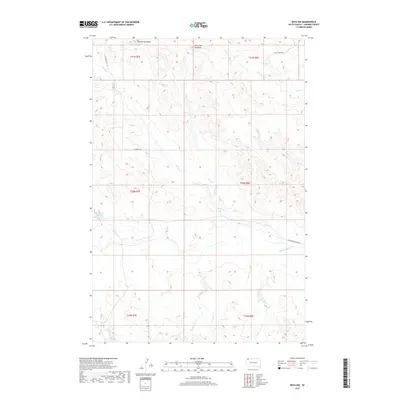
2017 Map of Reva NW
USGS Topo · Published 2017About this map
Big Two Top Butte and Little Two Top Butte rise as prominent landmarks in this northwestern corner of South Dakota, anchoring a landscape defined by an intricate network of drainages. The area is dominated by the seasonal paths of Horse Cr, Turtle Cr, and Skull Cr, which carve through the high plains. Human presence is marked by sparse but essential ranching infrastructure, including Skull Creek Rd and Hackamore Ranch Rd. These routes provide the primary access to the remote sections of Harding County, linking isolated homesteads across the townships. The drainage patterns of Prairie Dog Cr and Coal Cr reveal the erosion-carved topography typical of the region, where water remains the primary architect of the land even in its relative absence.
Find a feature on this map
20 named features on this map. Tap any name to fly to it.
Don’t see what you’re looking for? This feature index may not catch every label — zoom into the map to look around manually.
Map Details
Editions of this 2017 Reva NW Map
This is the sole edition of this map. No revisions or reprints were ever made.
Other maps of this area

1935 · Reva
USGS Topo · 1:125,000

1954 · Lemmon
USGS Topo · 1:250,000

1957 · Lemmon
USGS Topo · 1:250,000

1968 · Reva
USGS Topo · 1:24,000

1968 · Ralph SW
USGS Topo · 1:24,000

1968 · Ludlow SE
USGS Topo · 1:24,000

1968 · Ralph
USGS Topo · 1:24,000

1969 · Battleship Rock
USGS Topo · 1:24,000

1969 · Reva NW
USGS Topo · 1:24,000

1969 · Reva NE
USGS Topo · 1:24,000