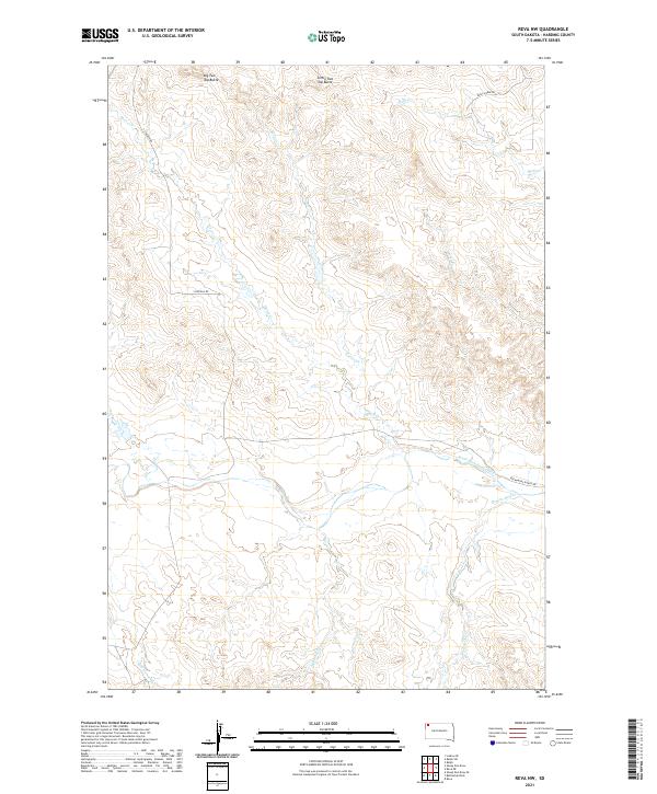
2021 Map of Reva NW
USGS Topo · Published 2021About this map
Big Two Top Butte and Little Two Top Butte dominate the high ground of the northern Harding County horizon, marking a landscape defined by significant topographic relief and intricate drainage systems. The network of waterways, including Turtle Creek and Horse Creek, flows through the central terrain to join the South Fork Grand River in the south. This ranching landscape is connected by scattered thoroughfares like Hackamore Ranch Rd and S Lincoln Rd, tracing the paths of rural development in this corner of South Dakota. The mapping of Prairie Dog Creek and Eggland Creek highlights the numerous seasonal and perennial watercourses that dictate the movement of both livestock and wildlife across these open ranges.
Find a feature on this map
19 named features on this map. Tap any name to fly to it.
Don’t see what you’re looking for? This feature index may not catch every label — zoom into the map to look around manually.
Map Details
Editions of this 2021 Reva NW Map
This is the sole edition of this map. No revisions or reprints were ever made.
Other maps of this area

1935 · Reva
USGS Topo · 1:125,000

1954 · Lemmon
USGS Topo · 1:250,000

1957 · Lemmon
USGS Topo · 1:250,000

1968 · Reva
USGS Topo · 1:24,000

1968 · Ralph SW
USGS Topo · 1:24,000

1968 · Ludlow SE
USGS Topo · 1:24,000

1968 · Ralph
USGS Topo · 1:24,000

1969 · Battleship Rock
USGS Topo · 1:24,000

1969 · Reva NW
USGS Topo · 1:24,000

1969 · Reva NE
USGS Topo · 1:24,000