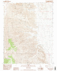
1982 Map of Revenue Canyon
USGS Topo · Published 1983About this map
The mining history of the Argus Range is preserved in this early 1980s record of eastern California, where numerous claims and extraction sites dot the steep drainages leading into the Panamint Valley. Historically significant operations like the Modoc Mine, Minnietta Mine, and Defense Mine cluster around Lookout Mountain, while the ghost of a former silver camp is found at Lookout City (Site). These names recall a specialized desert industry dependent on vital water sources such as Jack Gunn Spring and Thompson Spring.
Find a feature on this map
22 named features on this map. Tap any name to fly to it.
Don’t see what you’re looking for? This feature index may not catch every label — zoom into the map to look around manually.
Map Details
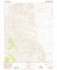
Editions of this 1982 Revenue Canyon Map
2 editions found
Other maps of this area

1908 · Ballarat
USGS Topo · 1:250,000

1913 · Ballarat
USGS Topo · 1:250,000

1948 · Death Valley
USGS Topo · 1:250,000

1950 · Darwin
USGS Topo · 1:62,500

1951 · Darwin
USGS Topo · 1:62,500

1951 · Panamint Butte
USGS Topo · 1:62,500

1951 · Maturango Peak
USGS Topo · 1:62,500

1951 · Coso Peak
USGS Topo · 1:62,500

1954 · Death Valley
USGS Topo · 1:250,000

1956 · Death Valley
USGS Topo · 1:250,000