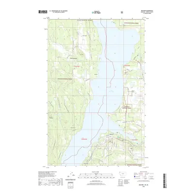
2020 Map of Rexford
USGS Topo · Published 2020About this map
Lake Koocanusa dominates this portion of Lincoln County, Montana, its waters filling the valley between the Purcell Mountains and the Tobacco Plains. The settlement of Rexford sits along the eastern shore, serving as a gateway for those traveling via State Highway 37 or exploring the vast Kootenai National Forest. To the west, the community of West Kootenai is located in a high basin near Alkali Lake and Olsen Hill, connected to the primary corridor by the W Kootenai Rd.
Find a feature on this map
65 named features on this map. Tap any name to fly to it.
Don’t see what you’re looking for? This feature index may not catch every label — zoom into the map to look around manually.
Map Details
Editions of this 2020 Rexford Map
This is the sole edition of this map. No revisions or reprints were ever made.
Other maps of this area
1957 · Kalispell
USGS Topo · 1:250,000
1960 · Kalispell
USGS Topo · 1:250,000
1961 · Kalispell
USGS Topo · 1:250,000
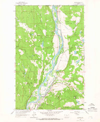
1963 · Rexford
USGS Topo · 1:24,000
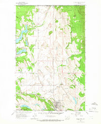
1963 · Eureka North
USGS Topo · 1:24,000
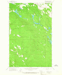
1963 · Eureka South
USGS Topo · 1:24,000
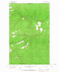
1963 · Red Mountain
USGS Topo · 1:24,000
1963 · Webb Mountain
USGS Topo · 1:24,000
1963 · Beartrap Mountain
USGS Topo · 1:24,000
1979 · Yaak River
USGS Topo · 1:100,000