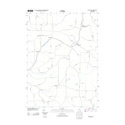
2013 Map of Rexville
USGS Topo · Published 2013About this map
Rexville and West Union serve as central points in this rural Steuben and Allegany County landscape, where the terrain is defined by the high ground of Irish Hill and Wheeler Hill. The network of country roads connects historic family-named clusters and small settlements like McGraws and the evocatively named Rough and Ready. Waterways such as Bennetts Cr and Marsh Cr wind through the valleys, historically dictating the placement of early industry at Barney Mills. For those researching local lineages, the map is a dense resource of cemeteries, including New Saint Mary's Church Yard Cem, Hauber Cem, and Greenwood Cem. The southern portion of the quadrangle around Wileyville shows a continued reliance on traditional road networks like Co Rte-84, maintaining a settlement pattern that has changed little since the previous century.
Find a feature on this map
81 named features on this map. Tap any name to fly to it.
Don’t see what you’re looking for? This feature index may not catch every label — zoom into the map to look around manually.
Map Details
Editions of this 2013 Rexville Map
This is the sole edition of this map. No revisions or reprints were ever made.
Other maps of this area

1899 · Gaines
USGS Topo · 1:62,500

1900 · Gaines
USGS Topo · 1:62,500

1926 · Wellsville
USGS Topo · 1:62,500

1926 · Greenwood
USGS Topo · 1:62,500

1932 · Genesee
USGS Topo · 1:62,500

1937 · Genesee
USGS Topo · 1:62,500

1950 · Elmira
USGS Topo · 1:250,000

1954 · Williamsport
USGS Topo · 1:250,000

1954 · South Canisteo
USGS Topo · 1:24,000

1954 · Troupsburg
USGS Topo · 1:24,000